Central Coast Regional District, Regional district in British Columbia, Canada
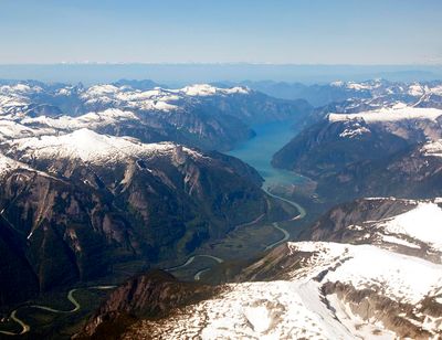
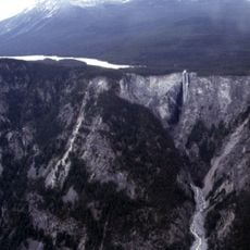
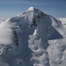
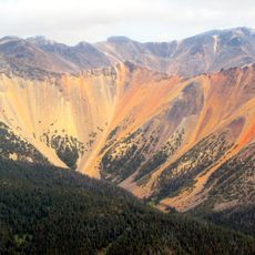
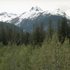
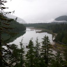
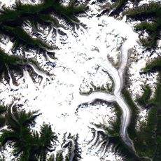
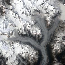
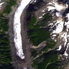
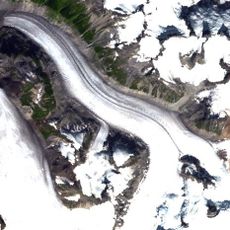
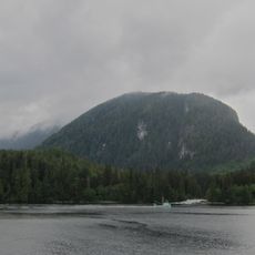
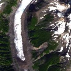
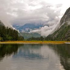
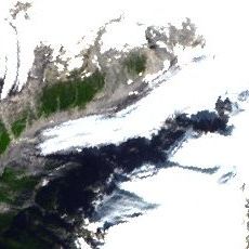
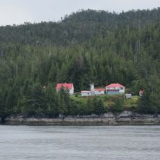
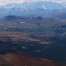
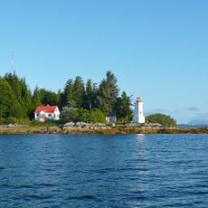
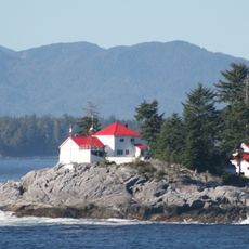
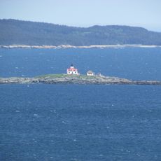
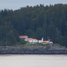
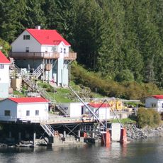
The Central Coast Regional District is a vast area along British Columbia's Pacific coastline defined by temperate rainforest, mountain ranges, and rugged marine landscapes. The region is characterized by small communities and settlements, with Bella Coola functioning as its administrative center and service hub for surrounding areas.
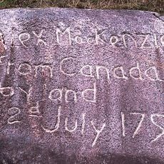
The area was established in 1968 as the Ocean Falls Regional District and renamed in 1976 to reflect its position along the coast more accurately. The region has long been shaped by Indigenous presence and institutions, while developing as a center for fishing and resource-based economies.
This region is the traditional home of the Wuikinuxv, Heiltsuk, and Nuxalk peoples, whose presence and cultural practices shape daily life and the district's identity. Visitors can see traces of these communities in local architecture, traditional crafts, and how people interact with the land.
This remote area is best reached by plane or boat from larger cities like Vancouver or Prince Rupert, as road access is limited and requires planning. Visitors should prepare for changing weather and variable conditions, which makes flexible travel dates and careful preparation essential.
This district is the only regional district in British Columbia without incorporated municipalities, meaning all services are provided directly to the communities within it. This unusual structure allows decisions to be made closer to residents and enables the specific needs of Indigenous and rural populations to be addressed more directly.
The community of curious travelers
AroundUs brings together thousands of curated places, local tips, and hidden gems, enriched daily by 60,000 contributors worldwide.