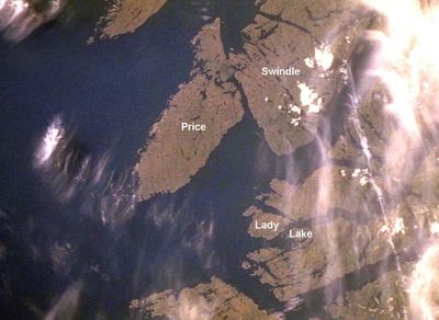
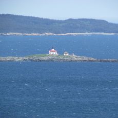
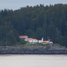
Milbanke Sound Group, Volcanic group in British Columbia, Canada
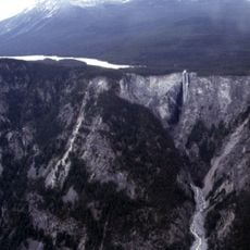
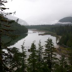
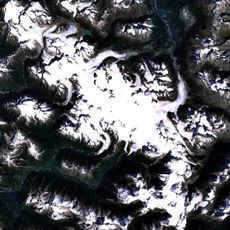
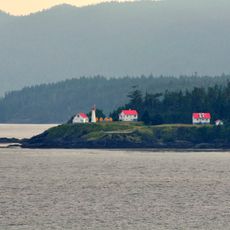
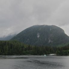
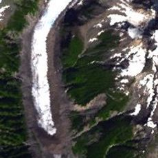
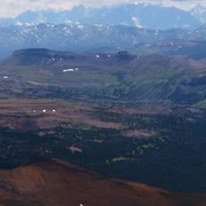
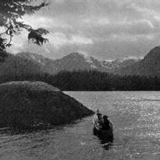
The Milbanke Sound Group is a collection of five basaltic volcanoes distributed across four small islands within the Kitimat Ranges of the Coast Mountains. The islands display dark volcanic rock formations with steep slopes, and the tallest peak rises approximately 335 meters above the water.
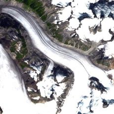
These volcanoes formed after the last Ice Age, roughly 10,000 years ago, through volcanic activity in the region. Their minimal erosion patterns indicate their relatively recent geological creation.
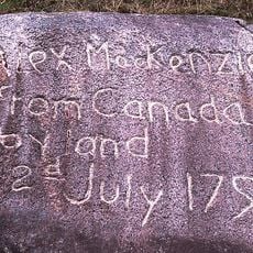
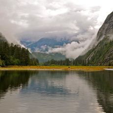
The volcanic islands hold importance for Indigenous communities who have maintained connections with these lands through generations of resource gathering.
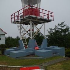
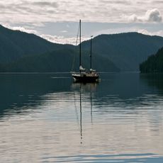
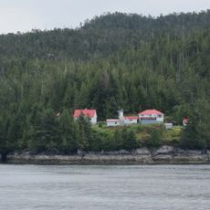
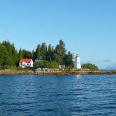
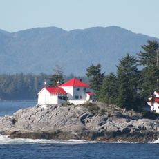
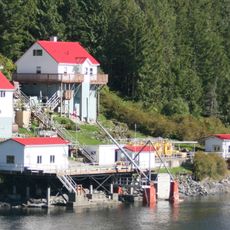
Reaching the islands requires boat or helicopter transport, so advance planning is necessary before visiting. Working with local guides is recommended since infrastructure is limited and water conditions can be unpredictable.
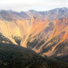
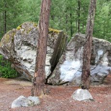
The tallest peak, known as Helmet Peak, displays steep sides made of welded volcanic blocks and holds significant deposits of basaltic tuff breccia. These special rock formations are uncommon and reveal the intense volcanic activity that shaped this landscape.
Elevation above the sea: 335 m
GPS coordinates: 52.35472,-128.35028
Latest update: December 14, 2025 17:41
Monarch Mountain
176.3 km
Hunlen Falls
175.8 km
Tweedsmuir South Provincial Park
158.9 km
Canadian Cascade Arc
179 km
Kitlope Heritage Conservancy
91.7 km
Sir Alexander Mackenzie Provincial Park
60.1 km
Monarch Icefield
164.5 km
Gardner Canal
139.6 km
Cape Scott Lighthouse
175.1 km
Scarlett Point Lighthouse
174 km
Penrose Island Marine Provincial Park
108.1 km
Pashleth Glacier
172.8 km
Foch-Gilttoyees Provincial Park
177.5 km
Kitasoo Spirit Bear Conservancy
60.2 km
Kingcome Glacier
176.3 km
Boat Bluff lighthouse
34.2 km
Mussel Inlet
62.7 km
Lowe Inlet Marine Provincial Park
157.4 km
Owyacumish River Provincial Park
131.1 km
Addenbroke Island light station
90.1 km
Tweedsmuir Provincial Park
173.5 km
Dryad Point Lighthouse
24.9 km
Ivory Island Lightstation
10.2 km
Egg Island Lighthouse
128.2 km
Pine Island Lighthouse
159.4 km
Big Rock
157.9 km
Boat Bluff
35.7 km
Lowe Inlet
157 kmVisited this place? Tap the stars to rate it and share your experience / photos with the community! Try now! You can cancel it anytime.
Discover hidden gems everywhere you go!
From secret cafés to breathtaking viewpoints, skip the crowded tourist spots and find places that match your style. Our app makes it easy with voice search, smart filtering, route optimization, and insider tips from travelers worldwide. Download now for the complete mobile experience.
A unique approach to discovering new places❞
— Le Figaro
All the places worth exploring❞
— France Info
A tailor-made excursion in just a few clicks❞
— 20 Minutes