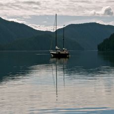
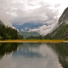
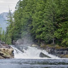
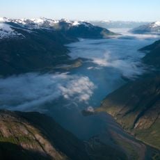
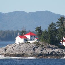
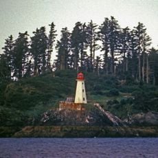
Gardner Canal, Coastal inlet in British Columbia, Canada.
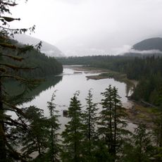
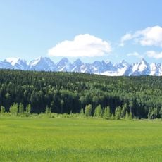
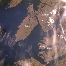
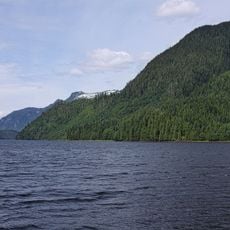
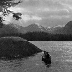
Gardner Canal is a coastal inlet in British Columbia extending roughly 90 kilometers as a branch of Douglas Channel, characterized by steep rocky walls and mountain peaks. The passage is accessed by traveling behind Hawkesbury Island through either Devastation Channel or Varney Passage.
Captain George Vancouver explored and mapped this inlet in 1793, naming it after Admiral Alan Gardner of the British Admiralty who supported his expedition. This survey became part of the broader European mapping efforts along the Pacific Northwest coast.
The canal's name honours Alan Gardner, 1st Baron Gardner, chosen by George Vancouver in 1793; his crew member Joseph Whidbey charted the inlet that same year. The reaches carry survey-era names, from Alan Reach at the mouth to Egeria Reach and Kitlope Anchorage at the head.
The entrance lies hidden behind Hawkesbury Island and is reached by boat through Devastation Channel or Varney Passage, on the island's northeast and southeast flanks. There are no road connections. Boaters follow the named reaches from mouth to head: Alan, Europa, Barrie, Whidbey and Egeria, ending at Kitlope Anchorage.
The Gardner Canal's entrance is hidden behind Hawkesbury Island, so vessels reach it through Devastation Channel or Varney Passage on that island's northeast and southeast flanks. From mouth to head the canal is divided into named reaches: Alan, Europa, Barrie, Whidbey and Egeria, ending at Kitlope Anchorage.
The community of curious travelers
AroundUs brings together thousands of curated places, local tips, and hidden gems, enriched daily by 92,619 contributors worldwide.