Kitlope Heritage Conservancy, Protected wilderness area in British Columbia, Canada
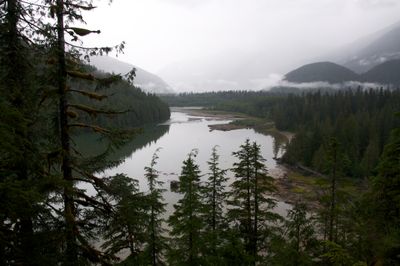
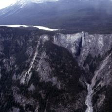
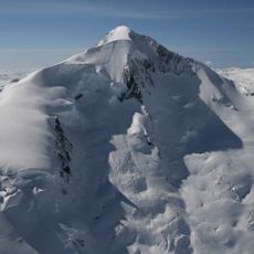
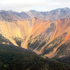
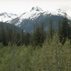
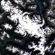
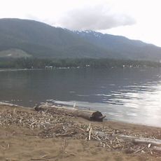
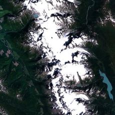
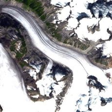
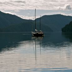
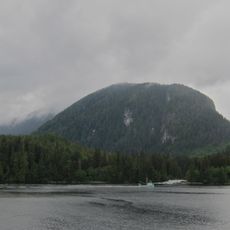
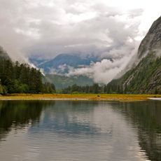
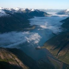
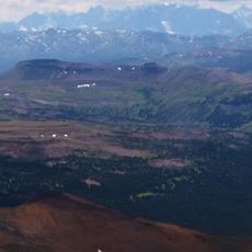
The Kitlope Heritage Conservancy is a protected area on the Pacific coast of British Columbia, covering rainforest, mountains, rivers, and glacial lakes. The terrain runs from the ocean all the way up to snow-covered peaks and can only be reached by boat through Gardner Canal.
The area was shaped for many years by logging operations until West Fraser gave up its timber rights in 1994. The provincial government formally protected it two years later, in 1996.
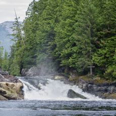
The Haisla Nation has deep ties to this land and continues traditional hunting and fishing here, especially for oolichan fish in the local rivers. For the Haisla people, this territory is not just a place to visit but a living part of their identity.
There are no roads or trails leading into this area, so a boat is the only way to get there. Once you arrive, you should be fully self-sufficient, as there are no facilities or marked paths on site.
This conservancy is widely regarded as the largest unbroken tract of temperate rainforest on Earth, running without interruption from sea level to glacier-covered peaks. A continuous band of wild forest from ocean to summit is now very rare to find anywhere in the world.
The community of curious travelers
AroundUs brings together thousands of curated places, local tips, and hidden gems, enriched daily by 60,000 contributors worldwide.