Monarch Icefield, Ice field in British Columbia, Canada
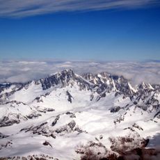
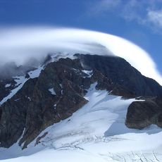
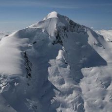
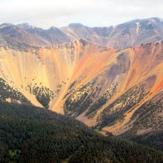
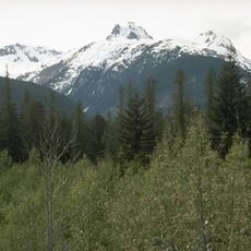
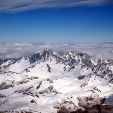
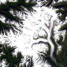
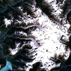
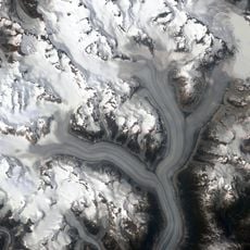
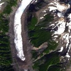
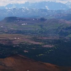
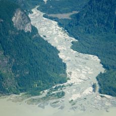
The Monarch Icefield is the northernmost of a chain of large continental icecaps on the heights of the Pacific Ranges in the Coast Mountains of southern British Columbia. It lies southeast of Bella Coola and west of the headwaters of the Atnarko River, north of the larger Ha-Iltzuk Icefield and its Silverthrone volcano. Its surface reaches about 2,137 m, with surrounding summits rising to roughly 2,369 m within 1.4 km.
The Monarch Icefield is the northernmost of the large continental icecaps in the Pacific Ranges of the Coast Mountains, lying southeast of Bella Coola and west of the headwaters of the Atnarko River. It sits north of the Ha-Iltzuk Icefield, the largest of the group and home to the Silverthrone volcano. Its remoteness means mountaineering parties rarely visit it.
The icefield lies in the traditional territory of the Nuxalk First Nation, whose territory centres on Bella Coola, the nearest town. The Nuxalk name for the icefield is not recorded in the sources, and no permanent settlement or visitor facility exists anywhere on the ice. Its only regular human presence is the occasional mountaineering party, which the sources describe as rare.
This area is reachable only by helicopter from Bella Coola, as no trails or facilities exist in this wilderness. Visitors should know that this is harsh terrain requiring careful planning and specialized equipment for any visit.
The Monarch Icefield is the northernmost of the large continental icecaps in the Pacific Ranges of the Coast Mountains. It lies north of the Ha-Iltzuk Icefield, the largest of the group, which holds the Silverthrone volcano. The icefield is very remote and rarely visited by mountaineering parties.
The community of curious travelers
AroundUs brings together thousands of curated places, local tips, and hidden gems, enriched daily by 93,900 contributors worldwide.