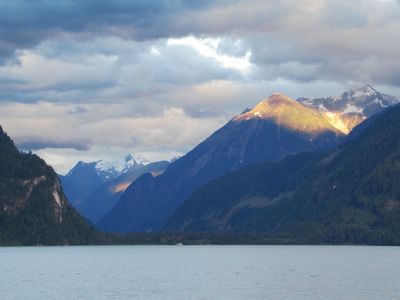
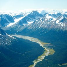
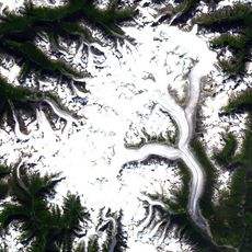
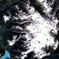
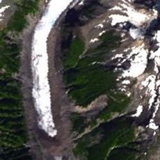
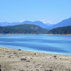
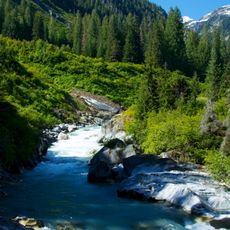
Southgate River, Brook in Pacific Ranges of Coast Mountains, Canada.
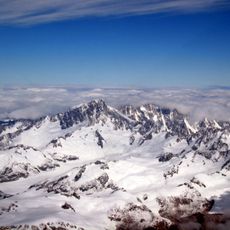
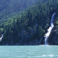
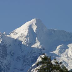
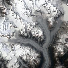
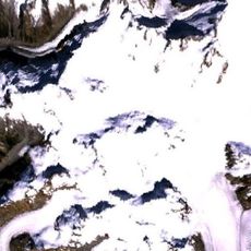
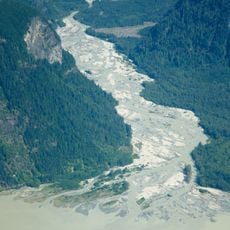
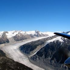
The Southgate River is a mountain waterway in British Columbia's Pacific Ranges that travels roughly 65 kilometers through rugged terrain. It originates from Good Hope Mountain and flows toward Bute Inlet, fed by several tributaries including the Bishop River.
The river bears the name of Captain James Johnson Southgate, who settled in Victoria in 1859 and later served in the Legislative Assembly of Vancouver Island. This naming reflects the period of European exploration and settlement in the region during the 1800s.
The Homalco people have lived in this watershed for countless generations, and their connection to the land remains visible through their continued presence in the region. This relationship shapes how the valley is understood and valued by those who know it well.
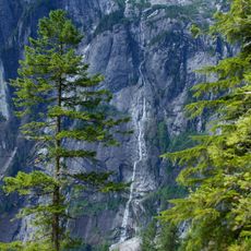
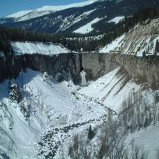
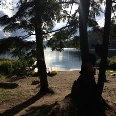
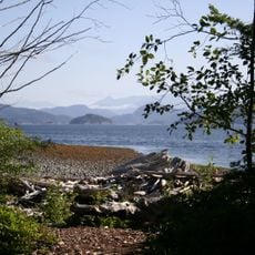
Access to this mountain river is limited due to its remote and rugged location, and a visit requires careful planning. Visitors should prepare for variable mountain weather and challenging terrain conditions.
A heavy rainfall in 2020 triggered a landslide that created a 100-meter wave traveling 60 kilometers down the valley toward the inlet. This rare event demonstrated the powerful forces at work in this mountain landscape.
The community of curious travelers
AroundUs brings together thousands of curated places, local tips, and hidden gems, enriched daily by 60,000 contributors worldwide.