Enable Location

We need your location to show you interesting places around you

Discover nearby places

Find interesting locations and hidden gems around you

Precise directions

Get accurate directions and distances to places

Your location is never shared with other users. It's only used when you tap the location button.

Desolation Sound Marine Provincial Park

Log in to your account

Start exploring — it's free

Trusted by 62,352 travelers worldwide

Continue with Google
Continue with Apple
or

We will send you a code to connect

By continuing, you accept our Terms and Conditions and our Privacy Policy

Check your inbox

We've sent a pincode in your inbox. Please enter the code below.

Desolation Sound Marine Provincial Park

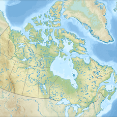
Desolation Sound Marine Provincial Park, Marine provincial park in qathet Regional District, British Columbia, Canada

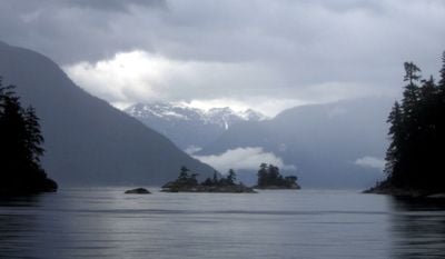
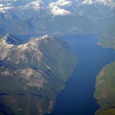
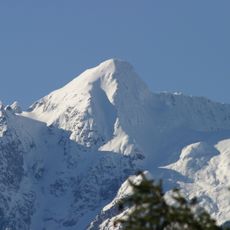
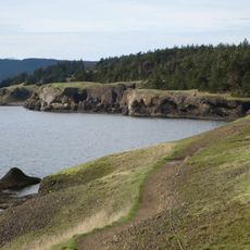
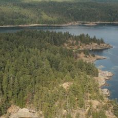
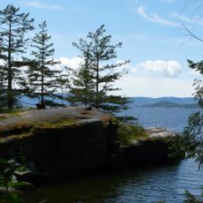
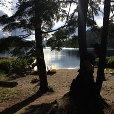
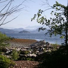
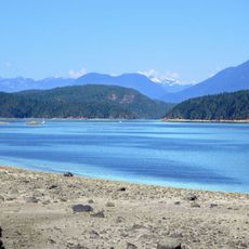
Desolation Sound Marine Provincial Park stretches across about 84 square kilometers along the British Columbia coast, featuring sheer rock cliffs, thick forests, and sheltered waters with many islands and coves. The park encompasses several marine reserves, including the Copeland Islands and Malaspina Marine Parks, which together form a connected system of protected coastal habitats.

Captain George Vancouver explored these waters in 1792 and found them largely empty at the time. The coastal settlements of First Nations peoples had inhabited and used this region long before European exploration brought it to wider attention.

The Tla'amin, Homalco, and Klahoose First Nations maintain deep ties to these waters, which remain central to their food gathering and cultural life. This connection shapes how the region is experienced and valued by those who call it home.

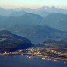
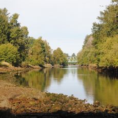
The best way to reach this area is through Lund, which serves as the main gateway for visitors. There are eleven designated campgrounds spread across different sections, offering tent spaces and basic facilities from which to explore the bays and islands.

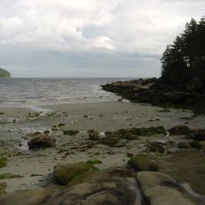
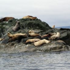
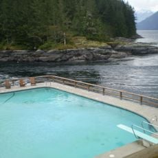
The waters here are warmer than other coastal areas and allow for swimming, while vast eelgrass meadows support an abundance of marine life. This combination of accessible water and rich underwater activity makes the park special for exploration.

The community of curious travelers

AroundUs brings together thousands of curated places, local tips, and hidden gems, enriched daily by 60,000 contributors worldwide.

Start exploring
Inception
1973
GPS coordinates
50.11233,-124.68837
Latest update
December 6, 2025 17:45
Natural areas in British Columbia

British Columbia stretches from the Pacific coast to the Rocky Mountains, offering geological diversity and varied ecosystems. The region includes geothermal springs such as Liard River Hot Springs and Keyhole Hot Springs, ancient coastal forests at Cathedral Grove and Carmanah Walbran, and tide...

« Desolation Sound Marine Provincial Park - Marine provincial park in qathet Regional District, British Columbia, Canada » is provided by Around Us (aroundus.com). Images and texts are derived from Wikimedia project under a Creative Commons license. You are allowed to copy, distribute, and modify copies of this page, under the conditions set by the license, as long as this note is clearly visible.

Discover hidden gems everywhere you go!

From secret cafés to breathtaking viewpoints, skip the crowded tourist spots and find places that match your style. Our app makes it easy with voice search, smart filtering, route optimization, and insider tips from travelers worldwide. Download now for the complete mobile experience.

Around Us App Screenshot

A unique approach to discovering new places

Le Figaro

All the places worth exploring

France Info

A tailor-made excursion in just a few clicks

20 Minutes

Around Us
Travel Guide & Maps
Download

Send to your phone

QR Code
1

Open the camera app on your mobile.

2

Point at the QR code with your camera. A notification will appear.

3

Tap the notification to open the link.