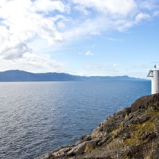
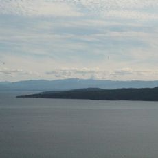
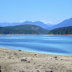
Jervis Inlet, Deep fjord inlet in British Columbia, Canada
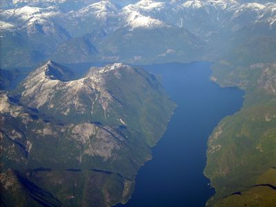
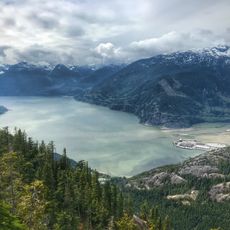
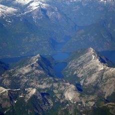
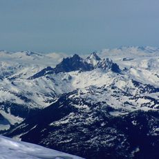
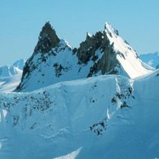
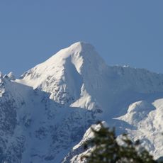
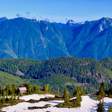
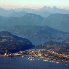
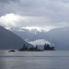
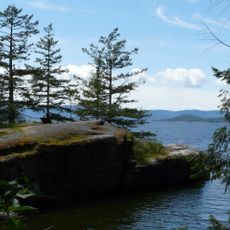
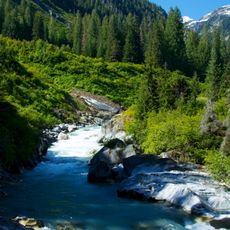
Jervis Inlet is a deep fjord along the British Columbia coast with steep walls extending roughly 89 kilometers inland. The seafloor drops over 670 meters in places, making it one of the most dramatic waterways in the region.
The inlet received its name in 1791 from British explorer George Vancouver, who honored Rear Admiral Sir John Jervis, an important naval leader of his time. This naming reflects the British naval presence in the region during the late 18th century.
The Shíshálh nations used these waters as home and a source of food for generations before European contact. Their heritage remains connected to this inlet's identity today.
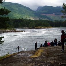
The area is best reached by ferry service, which runs regularly between Earls Cove and Saltery Bay carrying vehicles and passengers across the water. Weather and tidal conditions can change quickly, so it is important to plan your movements based on local forecasts and water conditions.
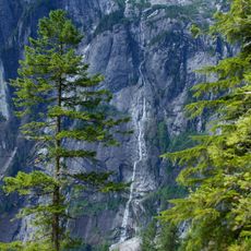
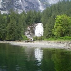
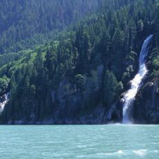
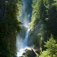
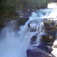
Two of Canada's highest waterfalls plunge straight down from the rock walls and are visible directly from the water below. They flow year-round from melting snow and ice in the high mountains above.
The community of curious travelers
AroundUs brings together thousands of curated places, local tips, and hidden gems, enriched daily by 60,000 contributors worldwide.