South Texada Island Provincial Park, provincial park in British Columbia, Canada
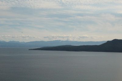
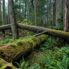
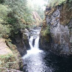
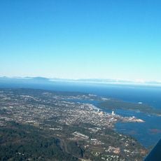
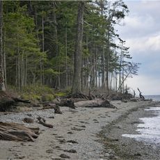
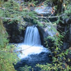
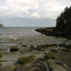
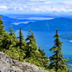
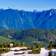
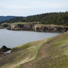
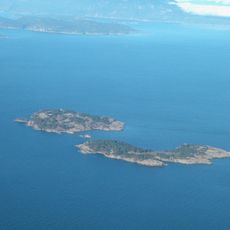
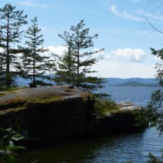
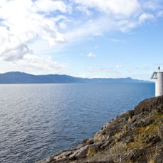
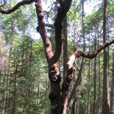
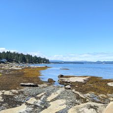
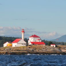
South Texada Island Provincial Park is a nature reserve at the southern tip of Texada Island in British Columbia with rocky shoreline, forest, and several lakes. The area covers about 1,500 hectares and features two main peaks: Mount Shepherd at almost 900 meters high and Mount Dick at around 350 meters.
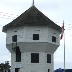
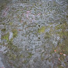
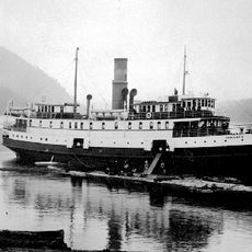
The area was settled around 5,000 years ago and served as a crossing point through Georgia Strait. After Spanish exploration in 1791 and naming by explorer Felix de Tejada, the island became a mining center for copper, gold, and limestone in the late 1800s and early 1900s, which later declined.
The park sits on traditional territory of several Indigenous Nations, including the Tla'amin, shishalh, K'ómoks, and Wei Wai Kum, who have lived here for thousands of years. BC Parks works with these communities to share their stories and teach about their ongoing connection to the land.
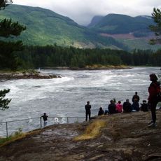
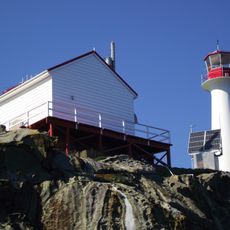
You reach the park best by boat or ferry from Powell River, as no direct roads go there. Bring your own supplies and plan your route ahead since the park has no facilities like shops or restaurants.
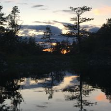
The Mount Shepherd Trail is the main route into the park, running about 6 kilometers to the summit and passing Cathedral Lake, which serves as a camp spot. From the top, you see views over the water and surrounding islands.
The community of curious travelers
AroundUs brings together thousands of curated places, local tips, and hidden gems, enriched daily by 60,000 contributors worldwide.