Tetrahedron Provincial Park, Provincial park in the Sunshine Coast, British Columbia, Canada
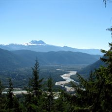
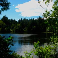
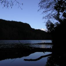
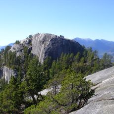
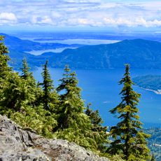
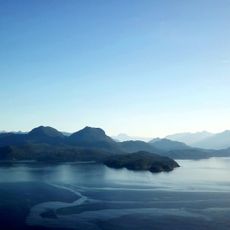
Tetrahedron Provincial Park is a mountainous park in the Squamish-Lillooet region with dense forests, alpine meadows, and several high peaks. The terrain transitions from forested lower elevations to open mountain summits, creating diverse landscapes throughout the park.
The park was established in 1995 to protect the Chapman Creek and Gray Creek watersheds from commercial logging. This protection came about through collaboration between environmental organizations working to preserve these mountain landscapes.
The park lies within the territory of the shíshálh Nation, and the area was used for hunting and settlement by First Nations, including the Sechelt and Squamish, long before European settlement or park designation. The park's name comes from Tetrahedron Peak, whose four faces give it its name.
The park has no road access or marked trail network; the main visitor infrastructure is a group of backcountry shelters. Access is on foot through the surrounding mountains, so plan for weather and snow that vary with elevation. The park lies within Atl'ka7tsme/Howe Sound UNESCO Biosphere Reserve, established September 2021.
The park's name comes from Tetrahedron Peak, whose four faces give it the shape of a tetrahedron. The peak reaches 1,727 m, and the park also holds Panther Peak and Mount Steele. Since September 2021 the park has formed part of the Atl'ka7tsme/Howe Sound UNESCO biosphere reserve.
The community of curious travelers
AroundUs brings together thousands of curated places, local tips, and hidden gems, enriched daily by 94,100 contributors worldwide.