Plumper Cove Marine Provincial Park, Marine provincial park on Keats Island, British Columbia, Canada.
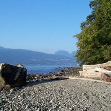
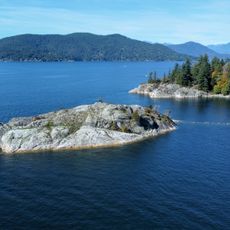
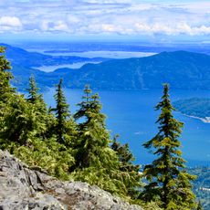
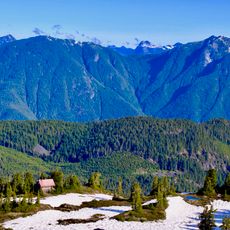
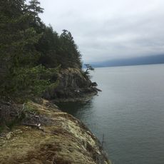
Plumper Cove Marine Provincial Park is a coastal protected area on Keats Island with pebble beaches, forest paths, and boat mooring spots. The landscape includes steep slopes and flat terrain with thick forest running down to the waterline.
The park was established in 1960 as Plumper Cove Park, making it one of British Columbia's oldest marine provincial parks after Maquinna, Montague Harbour and Rebecca Spit. It took its present name in 1988, and boundary adjustments in 2000 and 2004 set the land at 33 hectares and the intertidal zone at 33 hectares. The cove is named after HMS Plumper, the Royal Navy survey ship that charted the Canadian west coast from 1857 to 1861.
The park's name comes from the bay it faces, which in turn honours HMS Plumper, the Royal Navy survey ship that charted the Canadian west coast from 1857 to 1861. Long before the park existed, the area was hunting and fishing territory of the Sechelt and Squamish First Nations.
You can reach the park either by hiking from the landing point or arriving by boat. Bring water and food with you since supplies and services are limited on-site.
The park is only accessible by combining hiking and boat travel, which sets it apart from typical day-trip destinations. This remoteness helps keep the natural surroundings quiet and uncrowded.
The community of curious travelers
AroundUs brings together thousands of curated places, local tips, and hidden gems, enriched daily by 93,556 contributors worldwide.