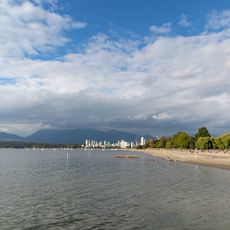
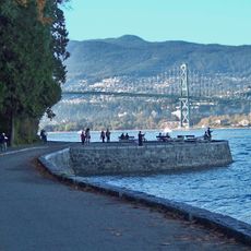
Burrard Inlet, Coastal inlet in Metro Vancouver, Canada.
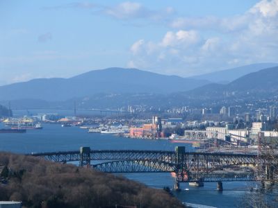
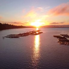
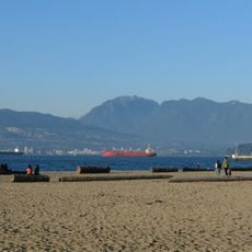
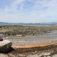
Burrard Inlet is a seawater body that stretches roughly 37 kilometers eastward from the Strait of Georgia and forms Vancouver's working harbor. The waterway is deep enough for large cargo ships and sits between the urban shore and the North Shore mountains.
Captain George Vancouver surveyed the inlets in this area in 1792 and named this one after Captain Harry Burrard Neale, a fellow naval officer. The waterway later became the region's main port and drew settlers and merchants to the area.
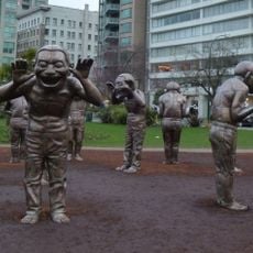
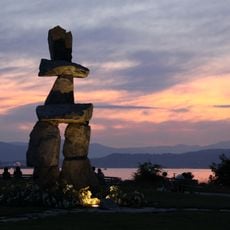
The Musqueam, Squamish, and Tsleil-waututh First Nations have lived along these waters for generations and continue to shape how communities relate to the inlet today. Their heritage appears in place names, public art, and how people use the shores and waterfront.
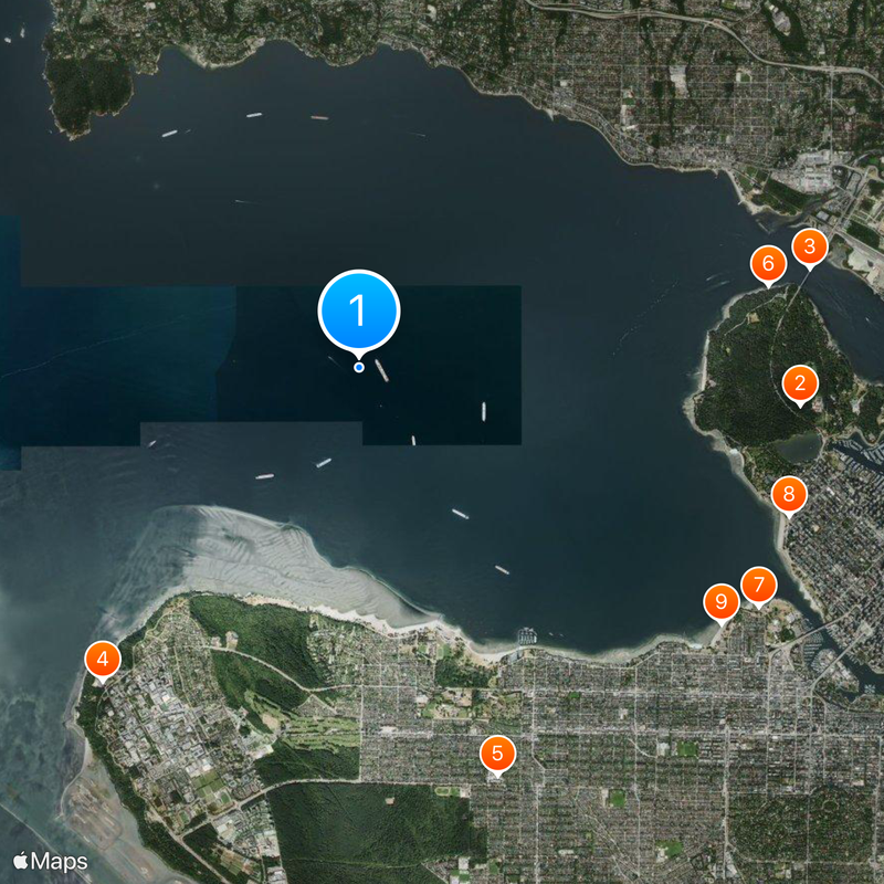
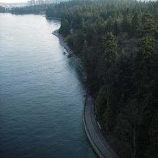
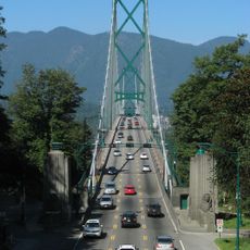
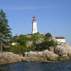
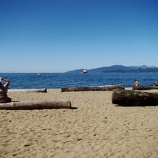
Multiple bridges and the SeaBus ferry connect the shores daily for people crossing between Vancouver and North Shore. The best way to experience the inlet is from public waterfront access points and viewpoints along both coasts.
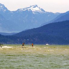
The inlet naturally divides into two distinct sections with different water characteristics and uses. The outer part connects to the open Strait of Georgia, while the inner section narrows toward Port Moody and serves more local and industrial purposes.
The community of curious travelers
AroundUs brings together thousands of curated places, local tips, and hidden gems, enriched daily by 60,000 contributors worldwide.