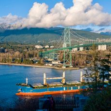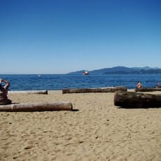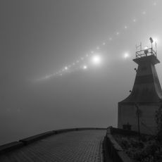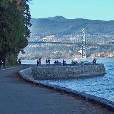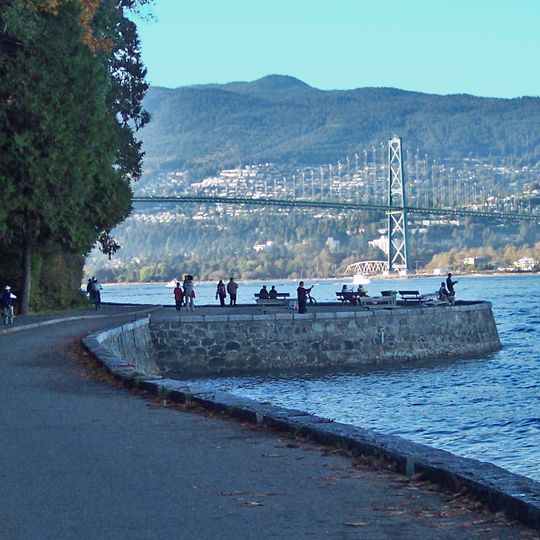
Seawall, Coastal recreational path in Vancouver, Canada.
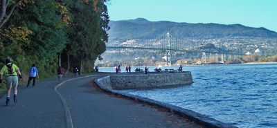
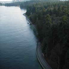
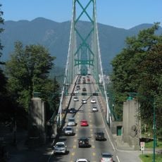
The Seawall is a continuous waterfront path in Vancouver that stretches for more than 25 kilometers and offers dedicated routes for pedestrians and cyclists with mountain and water views. It runs past Stanley Park and Coal Harbour, with rest areas, drinking fountains, and restrooms placed at regular intervals.
The idea came from park superintendent W. S. Rawlings in 1918, and the first 1,200 metres were built between 1914 and 1916 to stop erosion from ships' waves near Prospect Point and Brockton Point. Stonemason James Cunningham supervised from 1931 until his death in 1963, and the last block of the Stanley Park section was tapped into place on 26 September 1971.
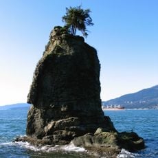
The path's name comes from the stone wall that protects Stanley Park's foreshore. A plaque near Siwash Rock marks stonemason James Cunningham, who supervised construction from 1931 until his death in 1963 and whose ashes were scattered there. Since 1984 cyclists have ridden one-way counterclockwise around the park, a rule that ended years of collisions between pedestrians and cyclists.
The bicycle lane runs one-way counterclockwise around Stanley Park, a rule in place since 1984, so walkers should keep to the pedestrian side. The original Stanley Park stretch covers about 9 km from Coal Harbour and the Rowing Club to Second Beach. A king tide in January 2022 sent waves and debris over part of the wall, so check conditions after winter storms.
The path connects multiple neighborhoods while offering views of the North Shore Mountains and open water from almost every point. This uninterrupted stretch makes it unusual as a waterfront route that runs through the entire city without major breaks.
The community of curious travelers
AroundUs brings together thousands of curated places, local tips, and hidden gems, enriched daily by 93,856 contributors worldwide.