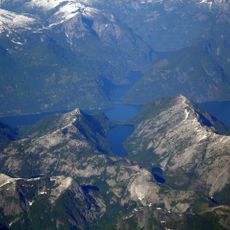
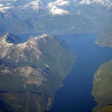
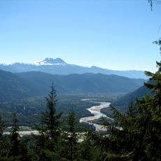
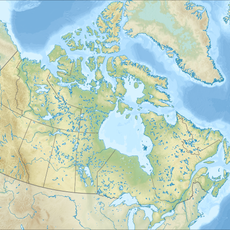
Sunshine Coast Regional District, Regional district along the southern mainland coast in British Columbia, Canada.
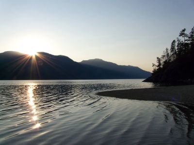
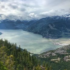
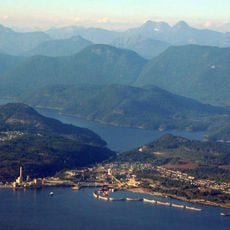
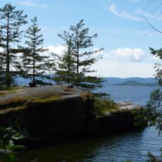
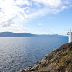
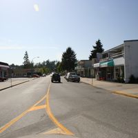
The Sunshine Coast Regional District is a region along the southern mainland coast of British Columbia, stretching from small towns like Gibsons and Sechelt along the water to forested mountains rising inland. The district's communities sit between the ocean and dense vegetation, with no direct highway link to the rest of the province.
This region remained isolated for much of its history until ferries connected it to Vancouver in the middle of the 1900s. Those ferry routes opened up the remote coastal communities and shaped how people still travel here today.
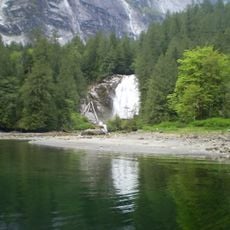
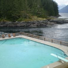
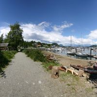
The communities here have developed strong ties to the ocean, with fishing, arts, and crafts forming part of daily life and local gatherings. People across the towns share a connection to the water and the landscape that shapes how they spend their time and interact with each other.
To reach this region, you will need to take a ferry from either Horseshoe Bay to Gibsons or from Earl's Cove to Saltery Bay, as there is no road access. It's worth checking ferry schedules ahead of time since they can change with the seasons.
Many visitors overlook the strong artist communities that have grown up in the towns here, with local makers running studios and galleries alongside fishing and other trades. This creative side of the region is less known than its natural setting but deeply rooted in how people have chosen to live.
The community of curious travelers
AroundUs brings together thousands of curated places, local tips, and hidden gems, enriched daily by 60,000 contributors worldwide.