Sea-to-Sky Corridor, Scenic highway route in Lower Mainland, Canada
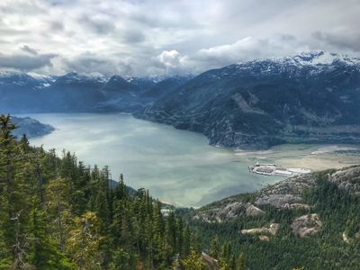
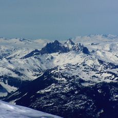
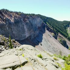
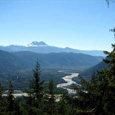
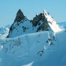
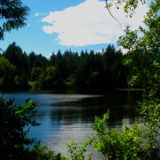
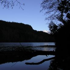
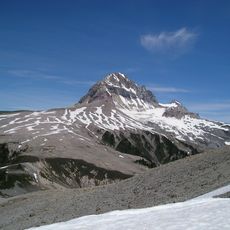
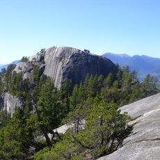
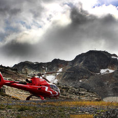
The Sea-to-Sky Corridor is a highway route in the Lower Mainland region of British Columbia, linking Vancouver to Whistler by following the Howe Sound coastline before heading inland. The road runs between the Pacific coast and the Coast Mountains, shifting between shoreline stretches, dense forest, and rocky mountain slopes.
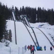
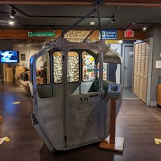
The road was first built in the early decades of the 20th century to serve loggers and miners working in the region. Before the 2010 Winter Olympics in Vancouver, the entire corridor was rebuilt and widened to handle greater traffic and improve safety along the route.
The route passes through the ancestral territories of the Squamish and Lil'wat Nations, and signs along the way share their stories and connection to the land. Around Squamish in particular, place names and roadside markers appear in First Nations languages.
It is worth checking road conditions before setting out, especially in winter when snow and ice can make sections of the drive more demanding. There are rest stops and small towns along the way where travelers can pull over and take a break.
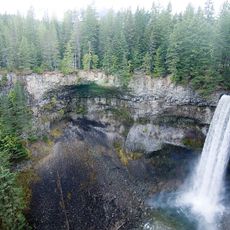
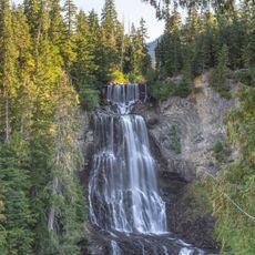
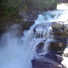
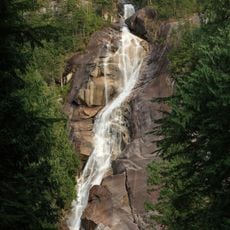
Shannon Falls, at around 1,100 feet (335 meters), is one of the tallest waterfalls in British Columbia and sits right beside the highway with a short walk from the parking area. This makes it one of the most reachable natural spots along the entire route, with no hiking required.
The community of curious travelers
AroundUs brings together thousands of curated places, local tips, and hidden gems, enriched daily by 60,000 contributors worldwide.