Lower Mainland, Metropolitan region in southwestern British Columbia, Canada
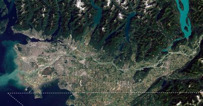
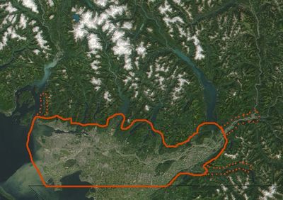
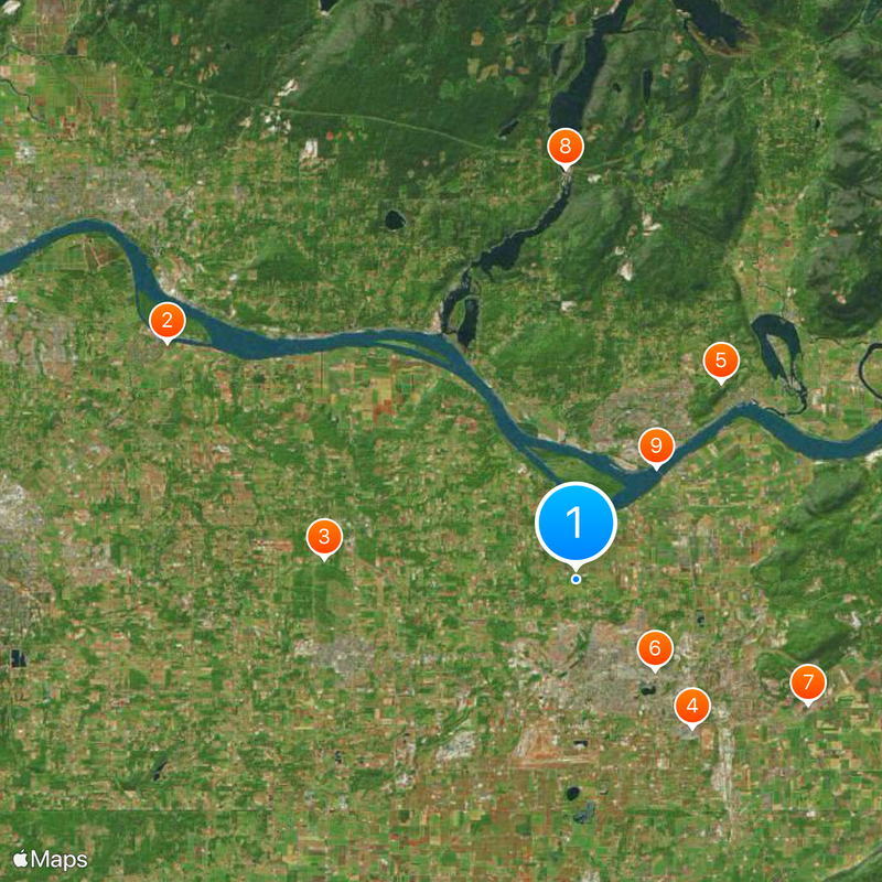
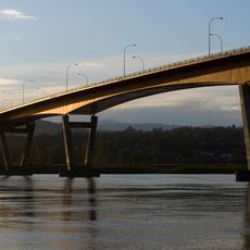
Lower Mainland is a metropolitan region in southwestern British Columbia, Canada, spreading across the Fraser River basin between the Pacific Ocean and the Coast Mountain Range. The region includes Vancouver and several surrounding municipalities connected by a network of highways, ferries and public transit systems.
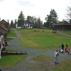
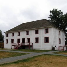
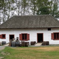
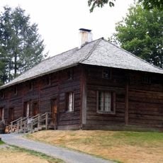
Indigenous peoples lived in this territory for thousands of years before European settlers arrived in the early 19th century. The Fraser Canyon gold rush starting in 1858 accelerated the growth of settlements and led to the founding of new towns along the river.
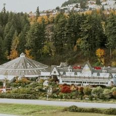
The name comes from the low-lying flatland along the Fraser River, stretching from the coast toward the mountains. Many public spaces feature multilingual signage, and neighborhoods alternate between Chinese restaurants, Indian markets and Italian cafés that shape daily life for residents.
The region is accessible through Vancouver International Airport, an extensive highway network and several ferry connections. Public transit links most communities, and many areas can be explored on foot or by bike, with cycling paths running along the waterfront and through parks.
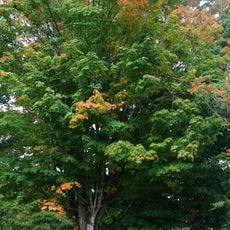
The area experiences a mild oceanic climate unusual for Canada, with winters that rarely bring snow and allow palm trees to grow in some locations. The Fraser River running through the territory forms a migration route for millions of salmon heading upstream during the spawning season in autumn.
The community of curious travelers
AroundUs brings together thousands of curated places, local tips, and hidden gems, enriched daily by 60,000 contributors worldwide.