Chest opened
+${chestReward.xp} XP
Explorer
NOUVEAU ×${chestReward.collectible.quantity}
tapez pour fermer

See the monuments around you in AR Open chests in the app

Around Us is built for your phone — point your camera at the streets and discover the monuments and places around you in augmented reality. Around Us is built for your phone — chests unlock when you walk, explore and capture nearby places.

•

Enable Location

We need your location to show you interesting places around you

Discover nearby places

Find interesting locations and hidden gems around you

Precise directions

Get accurate directions and distances to places

Your location is never shared with other users. It's only used when you tap the location button.

Xá:ytem

Log in to your account

Start exploring — it's free

Trusted by 94,410 travelers worldwide

Continue with Google
Continue with Apple
or

We will send you a code to connect

By continuing, you accept our Terms and Conditions and our Privacy Policy

Check your inbox

We've sent a pincode in your inbox. Please enter the code below.

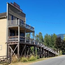
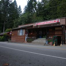
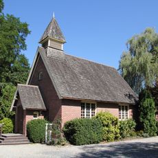
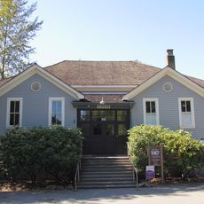
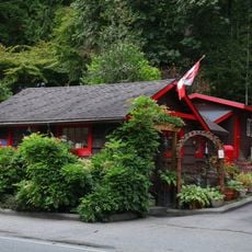
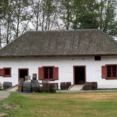
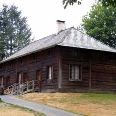
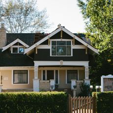
Xá:ytem, Indigenous archaeological site in Mission, Canada

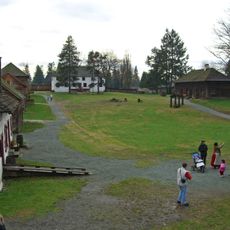
Xá:ytem is an archaeological site and museum at Hatzic, near Mission, British Columbia, on the northern bank of the Fraser River. It centres on Hatzic Rock, a large boulder held in Stó:lō mythology to be three leaders turned to stone by the transformer Xexá:ls. Excavations directed by Gordon Mohs from 1990 uncovered about 16,000 finds, including remains of rectangular pit houses, hearths, storage and trade goods.

The area was inhabited by Stó:lo communities over five thousand years, with various phases of human settlement documented through remains. In recent times, the land escaped development as a residential subdivision and was instead preserved as a memorial site.

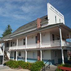
Hatzic Rock is the boulder the Stó:lo call X̱á:ytem, said to hold the shxweli, or life force, of three siːyaːm turned to stone by the transformer Xexá:ls for refusing to share their knowledge of written language. The X̱á:ytem Longhouse Interpretive Centre, run by the XÁ:YTEM Siyaye Society, presents this story alongside excavated finds.

The site is accessible from Mission via Highway 7 and lies about 80 kilometers (50 miles) east of Vancouver. Guided tours on location explain the discoveries and the meaning of the place for visitors.

This land was long considered for residential development but the archaeological findings led to its rescue and protection instead. The discovery makes this place a rare example of preservation taking priority over modern expansion.

The community of curious travelers

AroundUs brings together thousands of curated places, local tips, and hidden gems, enriched daily by 94,410 contributors worldwide.

Start exploring
Location
GPS coordinates
49.15139,-122.25167
Latest update
October 28, 2026 14:38
Reviews
Share your experience

No review yet

Discussions
Start a discussion...

No discussion yet

« Xá:ytem - Indigenous archaeological site in Mission, Canada » is provided by Around Us (aroundus.com). Images and texts are derived from Wikimedia project under a Creative Commons license. You are allowed to copy, distribute, and modify copies of this page, under the conditions set by the license, as long as this note is clearly visible.

Discover hidden gems everywhere you go!

From secret cafés to breathtaking viewpoints, skip the crowded tourist spots and find places that match your style. Our app makes it easy with voice search, smart filtering, route optimization, and insider tips from travelers worldwide. Download now for the complete mobile experience.

Around Us App Screenshot
❝

A unique approach to discovering new places❞

— Le Figaro

❝

All the places worth exploring❞

— France Info

❝

A tailor-made excursion in just a few clicks❞

— 20 Minutes

Around Us
Travel Guide & Maps
Download

Send to your phone

QR Code
1

Open the camera app on your mobile.

2

Point at the QR code with your camera. A notification will appear.

3

Tap the notification to open the link.