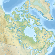
Qathet Regional District, Regional district in British Columbia, Canada.
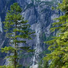
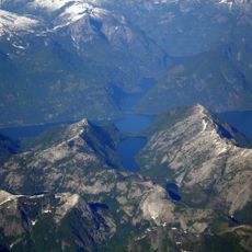
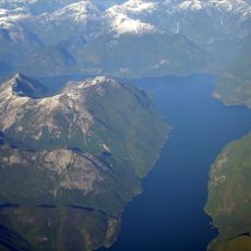
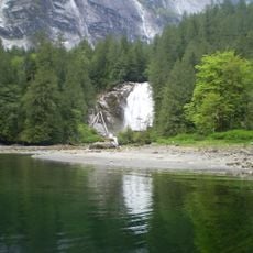
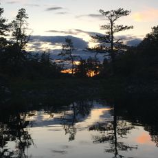
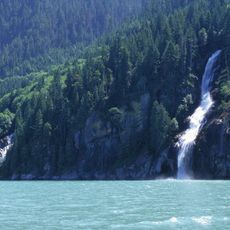
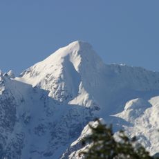
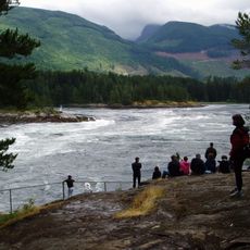
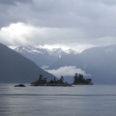
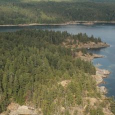
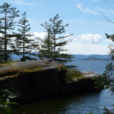
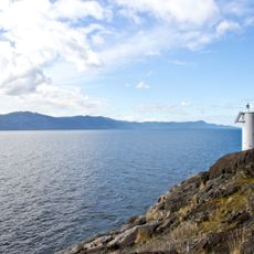
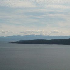
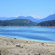
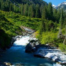
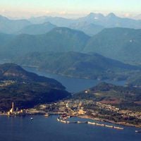
Qathet Regional District is a non-metropolitan regional district along the Sunshine Coast of British Columbia, made up of forested hills, mountain ranges, and a rugged coastline. The territory also covers several larger islands, including Texada and Lasqueti, along with small communities spread across the mainland portion.
This change was part of a broader effort to give greater visibility to the Indigenous peoples who have lived in this area for generations.
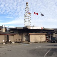
The Tla'amin Nation has deep roots in this part of British Columbia and remains an active presence in everyday life here. Visitors may come across cultural events and community spaces where traditional knowledge and the ʔayʔaǰuθəm language are kept in use.
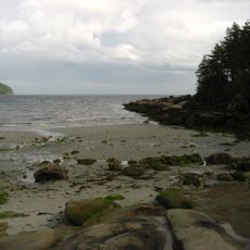
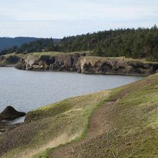
Getting around the region works best when you combine road travel along the coast with ferry crossings, since some communities can only be reached by water. Coastal weather shifts quickly, so packing layers is a good idea no matter the season.
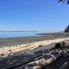
Lasqueti Island, one of the islands in this district, has no vehicle ferry service and is only reachable by a small passenger boat. Because of this, most people living there do not keep a car on the island, giving daily life there a very different rhythm from other coastal communities.
The community of curious travelers
AroundUs brings together thousands of curated places, local tips, and hidden gems, enriched daily by 60,000 contributors worldwide.