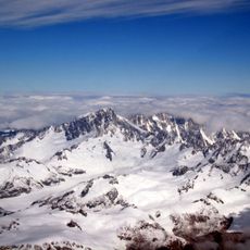
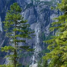
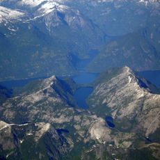
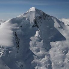
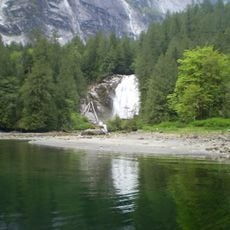
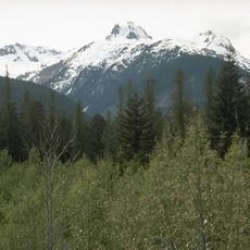
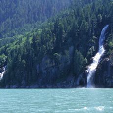
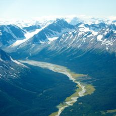
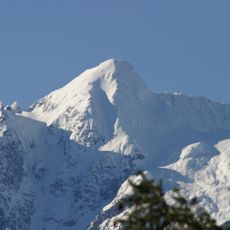
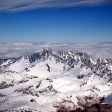
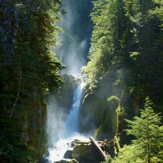
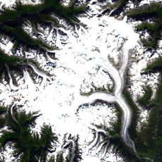
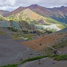
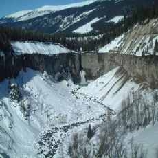
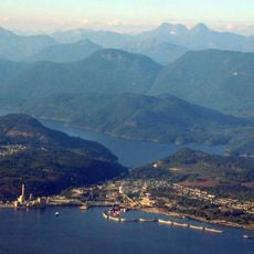
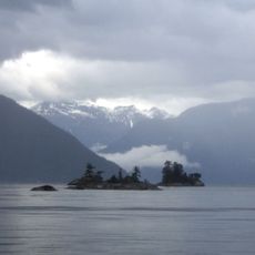
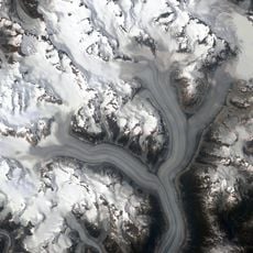
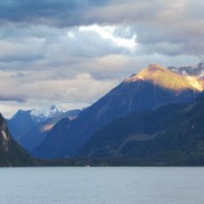
Homathko Icefield, Ice field in Coast Mountains, British Columbia, Canada.
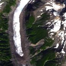
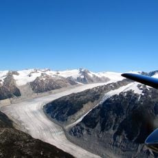
The Homathko Icefield is an icefield in British Columbia, Canada, between Chilko Lake and the Homathko River, east of the Waddington Range across the Great Canyon of the Homathko. It is one of the largest icefields in the southern Coast Mountains, covering over 2,000 km2. It is largely an expanse of ice about 30 km across, ringed by relatively minor peaks, and its highest summit is Mount Grenville at its southern edge.
The icefield received its current name in 1976, changing from its earlier designation as Homathko Snowfield introduced in 1950. This naming shift reflected evolving standards for classifying and documenting Canada's remote mountain formations.
Several peaks here carry names of Elizabethan figures like Burghley, Howard, and Walsingham, reflecting British colonial influence in naming the landscape. These names remind visitors of how European history shaped the way Canadians labeled their mountain features.
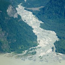
The icefield lies east of the Waddington Range, between Chilko Lake and the Homathko River, and is reached only by air or on foot. The Southgate River curves around its southern flank to the head of Bute Inlet, near the mouth of the Homathko River. There are no roads or facilities, so parties must be self-sufficient.
The icefield's highest summit, Mount Grenville, stands at its southern edge, while Klattasine Peak on the northwest overlooks the site of the opening battle of the Chilcotin War. The peak is named for Klattasine, the Tsilhqot'in leader of that war.
The community of curious travelers
AroundUs brings together thousands of curated places, local tips, and hidden gems, enriched daily by 94,631 contributors worldwide.