Spruce Lake Protected Area, Provincial park in Squamish-Lillooet Regional District, Canada.
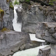
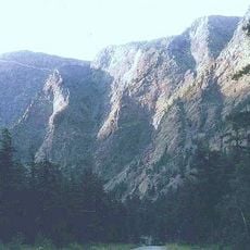
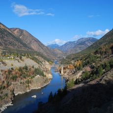
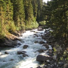
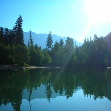
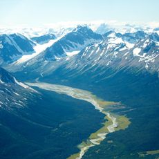
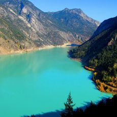
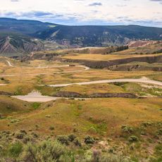
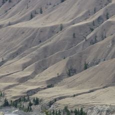
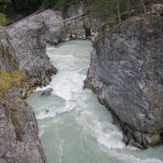
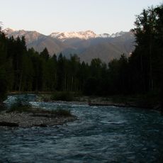
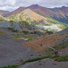
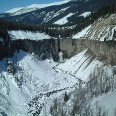
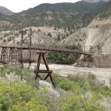
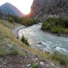
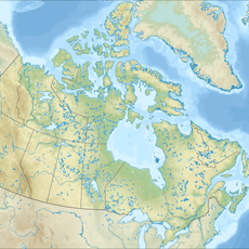
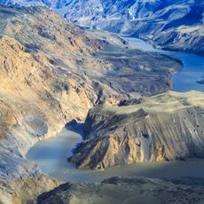
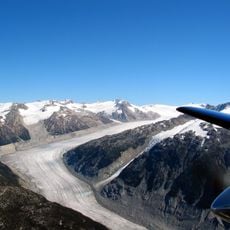
Spruce Lake Protected Area is a provincial park covering approximately 71,000 hectares north of Vancouver, spanning forests, mountains, and multiple lakes across British Columbia's interior. The landscape includes significant water bodies like Taseko Lake and Chilko Lake, connected by a network of hiking trails that move through varied terrain and ecosystems.
The area gained protected status in 2001 and became an official provincial park in 2004, following conservation efforts that began in the 1930s. This progression from early advocacy to formal designation reflects decades of commitment to safeguarding the wilderness landscape.
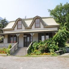
Indigenous peoples, including the Lillooet and Tsilhqot'in nations, have long used these lands for hunting and gathering, shaping how the region continues to be understood. Walking through the park, you encounter a landscape with deep roots in the lives and traditions of those communities.
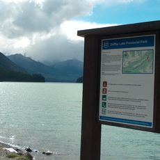
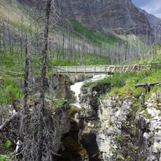
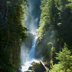
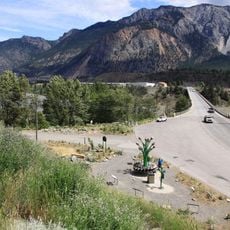
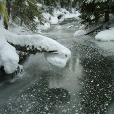
The park is accessible via multiple hiking trails that connect to major lakes and wilderness camping areas throughout the protected zone. Visiting between late spring and early fall offers the most favorable conditions for hiking and outdoor activities in this remote region.
The protected area serves as a critical refuge for large predators such as grizzly bears, wolverines, and rare California bighorn sheep that inhabit the region in significant numbers. Visitors who move quietly and respectfully may occasionally observe these animals in their natural habitat, though sightings remain uncommon.
The community of curious travelers
AroundUs brings together thousands of curated places, local tips, and hidden gems, enriched daily by 60,000 contributors worldwide.