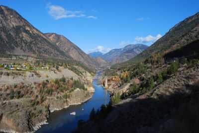
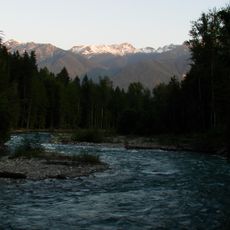
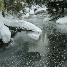
Lillooet River, Mountain stream in British Columbia, Canada.
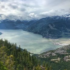
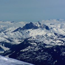
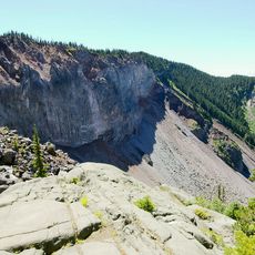
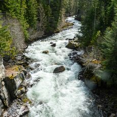
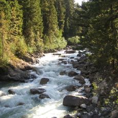
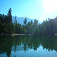
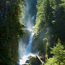
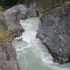
The Lillooet River is a mountain stream in British Columbia that flows roughly 209 kilometers from Silt Lake through the southern Coast Mountains to Lillooet Lake near Pemberton. The water moves through deep valleys with steep banks and several natural waterfalls along its course.
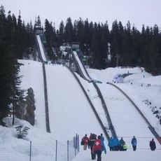
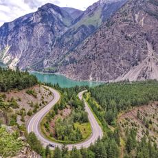
During the Fraser Canyon Gold Rush in the 1800s, the lower reaches of this river served as a key transportation corridor connecting coastal regions to the interior. This route was essential for prospectors and merchants moving between the settlement areas and mining camps.
The river flows through lands of several Indigenous nations, including the Líl̓wat and St'at'imc peoples, who maintain strong ties to these waters today. For these communities, the waterway remains central to their traditional practices and connection to the territory.
The valley is best visited in summer months when water levels are lower and mountain passages are more accessible. Visitors should approach the water carefully, as currents can be strong and cold meltwater affects flow rates depending on the season.
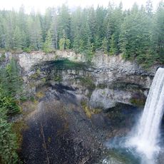
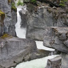
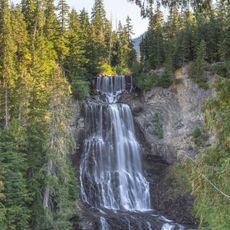
Keyhole Falls was created by a major eruption of Mount Meager roughly 2400 years ago that formed a natural dam of volcanic rock. Over the centuries, flowing water gradually eroded this barrier, eventually carving the waterfall you see today.
The community of curious travelers
AroundUs brings together thousands of curated places, local tips, and hidden gems, enriched daily by 60,000 contributors worldwide.