Birkenhead Lake Provincial Park, Provincial park in Squamish-Lillooet Regional District, Canada
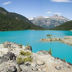
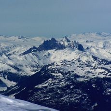
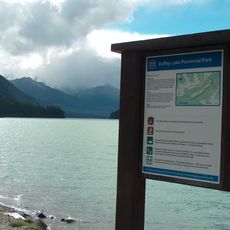
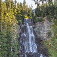
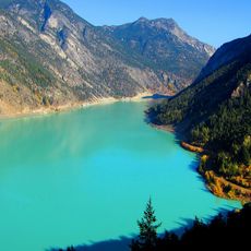
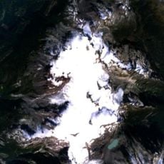
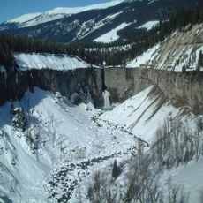
Birkenhead Lake Provincial Park covers 104.39 km2 in the Chilcotin Ranges of the Coast Mountains, about 50 km northeast of Pemberton. The park is split in two: most of it lies northwest of Birkenhead Lake, a smaller part southeast. Sockeye Horn (2,498 m), Tolkien Peak (2,380 m) and Mount McDonald (2,281 m) rise inside its boundaries.
The park was established in 1963 with an initial area of 3,642 hectares, between the Pemberton Valley and Lillooet. It was enlarged in 1993 and again in 2008 to protect more of the Sockeye Creek watershed. Its name, like the lake's, comes from the wrecked ship HMS Birkenhead. The park lies mainly within the traditional hunting and settlement territory of the St'at'imc and also the Squamish, who still fish here.
The park lies mainly in the traditional hunting and settlement territory of the St'at'imc, and also of the Squamish. These First Nations still use the area for fishing today. The name of the park and lake comes from the sunken ship HMS Birkenhead.
The final 12 km to the park is an unpaved gravel road branching off the paved route between Mount Currie and D'Arcy, northeast of Birken. The 91 vehicle-accessible campsites, some reservable, sit at the northeast end of the lake beside a beach; the southwest end with its small settlement lies outside the park.
The protected bull trout in the park's lakes is often mistaken for Dolly Varden, a separate species. The park also holds more than 70 percent of its forest as stands older than 140 years, and its four biogeoclimatic zones range from coastal western hemlock to alpine tundra.
The community of curious travelers
AroundUs brings together thousands of curated places, local tips, and hidden gems, enriched daily by 93,108 contributors worldwide.