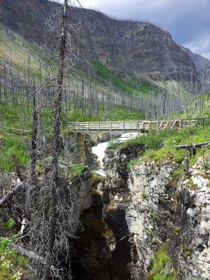
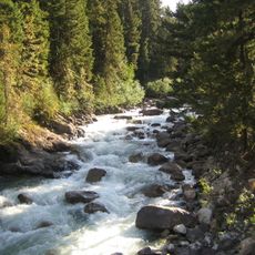
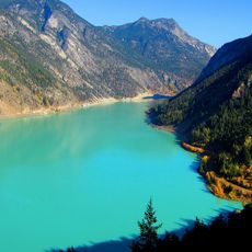
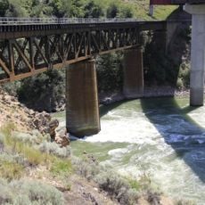
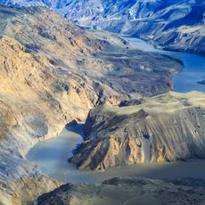
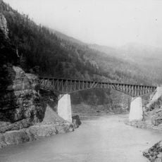
Marble Canyon, Limestone canyon in British Columbia, Canada
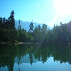
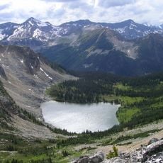
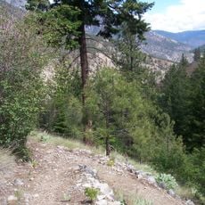
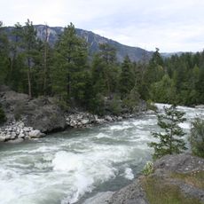
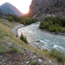
Marble Canyon is a limestone gorge in British Columbia featuring distinctive white rock walls that rise hundreds of meters above the landscape. Several interconnected lakes dot the area, including Pavilion Lake, which drains toward the Fraser River system.
The canyon formed from a collapsed karst structure that created the deep gorge visible today. The white stone composition is actually microcrystalline limestone rather than true marble, despite the name.
The Shuswap people have called this place sxmeltám for generations, and the Pavilion Band maintains deep cultural ties to the canyon and lake. Local Indigenous communities continue to use these lands for traditional practices and ceremonies.
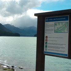
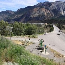
The area offers basic camping facilities with pit toilets and hand-pumped drinking water, typically available from May through September. Vehicle access roads make the location relatively easy to reach, and trails throughout the canyon are straightforward to navigate.
Pavilion Lake within the canyon holds a remarkable colony of microbialites, among the largest freshwater stromatolites anywhere in the world. Scientists continue to study these ancient-looking structures to understand early life forms on Earth.
The community of curious travelers
AroundUs brings together thousands of curated places, local tips, and hidden gems, enriched daily by 60,000 contributors worldwide.