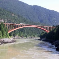
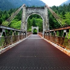
Lytton CNR Fraser Bridge, Railway bridge in Lytton, British Columbia, Canada
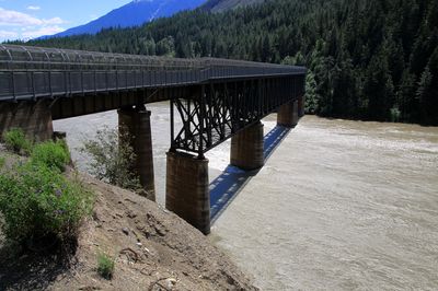
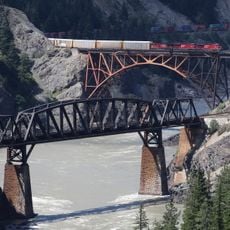
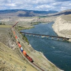
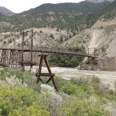
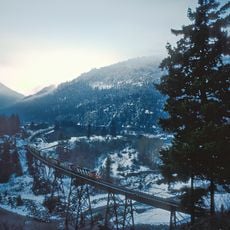
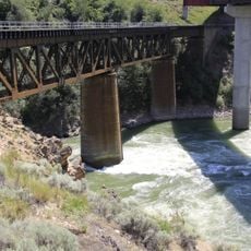
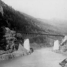
The Lytton CNR Fraser Bridge is a railway crossing that spans 180 meters across the Fraser River using three Pratt truss spans supported by four concrete piers. The structure carries train traffic over the water and joins the regions on either side of the river.
The bridge was built in the early 1900s and marks an important railway link in the development of British Columbia. The project was part of expanding Canadian railway networks to move freight and people through the mountainous terrain.
The north walkway connects Indigenous reserve communities and rural residents living on the west bank of the Fraser River. This passage allows people on both sides to cross easily and maintain their daily connections.
The pedestrian walkway provides access for residents and visitors to cross on foot, though the bridge is primarily an active railway line. Be aware that trains pass through regularly, so stay alert and use the designated walking areas.
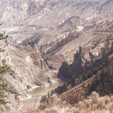
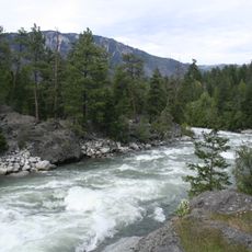
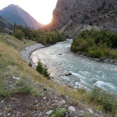
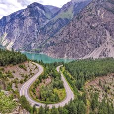
Water levels in the Fraser River change so drastically that the center piers can be fully submerged in spring or stand on dry ground by late summer. These swings show the river's raw power and make the view shift from season to season.
The community of curious travelers
AroundUs brings together thousands of curated places, local tips, and hidden gems, enriched daily by 60,000 contributors worldwide.