Skihist Provincial Park, Provincial park in Thompson-Nicola Regional District, Canada
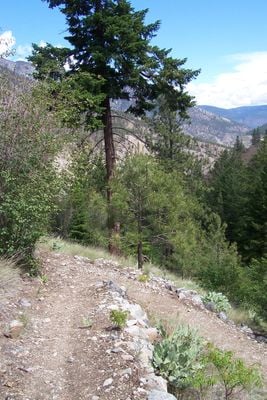
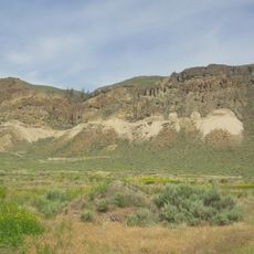
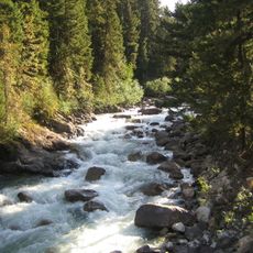
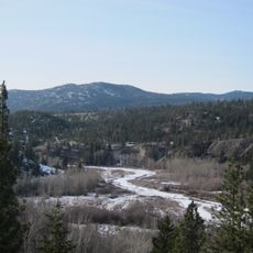
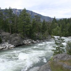
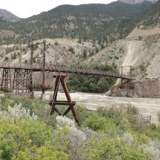
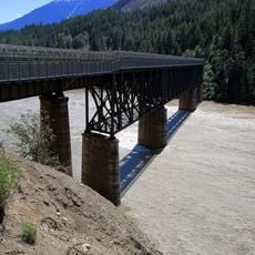
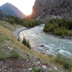
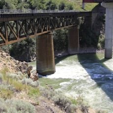
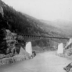
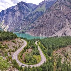
Skihist Provincial Park is a protected area of roughly 386 hectares that spreads along the Thompson River between dense forests and open grasslands. The landscape includes ponderosa pine trees on higher ground and river flats with different plant communities adapted to the drier climate.
The area gained official status as a provincial park in 1956, reflecting growing attention to protecting natural spaces in British Columbia. This conservation move helped preserve the land's ecological features and landscape character for future visitors.
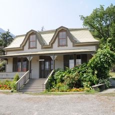
The land holds deep meaning for Indigenous peoples who have lived here for centuries, and signs of their presence remain visible throughout the park. Walking through the area, you can sense how important this territory has been to them across generations.
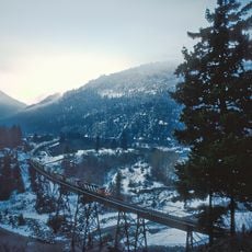
The park offers around 58 campsites during warmer months with basic facilities such as water access and toilets available typically from May through September. Plan your visit for the summer season when all amenities are open and the river provides easy access to the site.
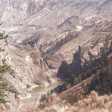
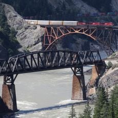
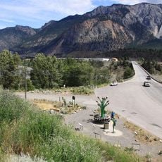
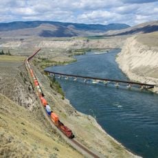
The park sits near where the Thompson and Fraser Rivers meet, yet offers views of Skihist Mountain visible across the water on the opposite bank. This location gives visitors a rare vantage point to see how these two major rivers converge in the landscape.
The community of curious travelers
AroundUs brings together thousands of curated places, local tips, and hidden gems, enriched daily by 60,000 contributors worldwide.