Deadman River, Brook in Thompson River region, British Columbia, Canada
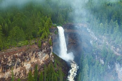
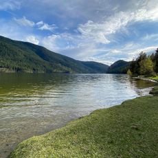
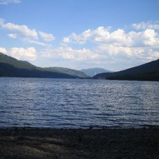
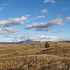
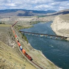
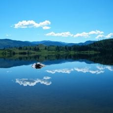
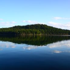
Deadman River is a brook in the Thompson River region of British Columbia that flows approximately 95 kilometers from Hoover Lake before joining the Thompson River at about 341 meters elevation. The system drains a basin of roughly 878 square kilometers and supports farming and ranching activities across the region.
The river received its name in 1817 when Pierre Charette of the North West Company died during a conflict at a campsite on its banks. This tragic event marked the waterway with a name that has remained through the centuries and reflects the region's early fur trade period.
The Shuswap people called this waterway 'Hai in wohl', which refers to the circular path the river takes through the landscape. This name shows how local communities have always understood and connected with the flow of water through their territory.
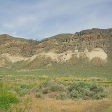
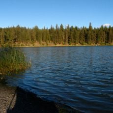
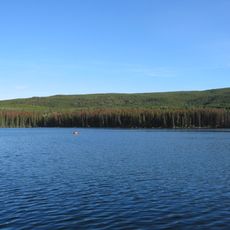
The lower section of the river is easiest to access and offers the best views for visitors exploring the area. Water flow varies with the seasons, so it helps to check local conditions before heading into this region.
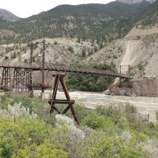
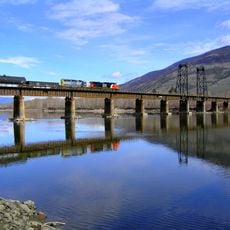
The lower section formed part of the Hudson's Bay Brigade Trail, a crucial trade route linking Fort Vancouver with the New Caledonia fur district. This historic pathway shows how the river's geography shaped the region's early commercial networks.
The community of curious travelers
AroundUs brings together thousands of curated places, local tips, and hidden gems, enriched daily by 60,000 contributors worldwide.