Salmon River, Salmon fishing river in Strathcona Regional District, Canada.
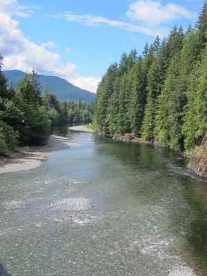
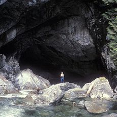
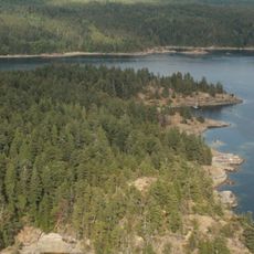
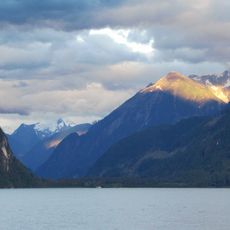
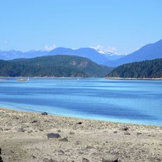
The Salmon River is a waterway flowing through the Strathcona Regional District that supports spawning grounds for five Pacific salmon species. The system includes multiple access points and varies in width and current strength depending on the section and season.
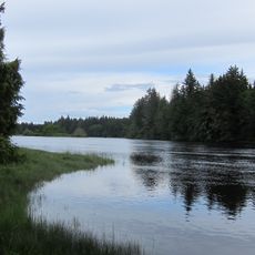
Indigenous peoples established communities along the river banks centuries ago, relying on seasonal salmon migrations for food and trade. This long human presence demonstrates how the river shaped settlement patterns in the region.
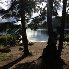
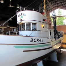
The river serves as a gathering place where local anglers practice both traditional and contemporary fishing methods throughout the year. Families and residents rely on its waters as part of their connection to the land and seasonal cycles.
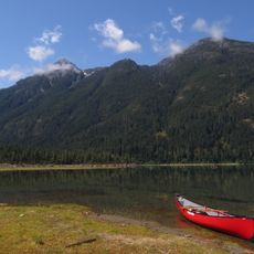
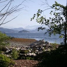
Multiple access points along the river provide different angles and water conditions depending on which section you visit. Peak fishing conditions occur from July through September, though water levels and weather should guide your specific visit timing and location choice.
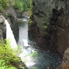
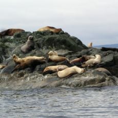
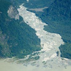
The river experiences massive salmon concentrations during spawning season, with millions of fish arriving in a compressed timeframe that transforms the water. These dense runs create visible changes in the ecosystem and fishing conditions that unfold over just a few months.
The community of curious travelers
AroundUs brings together thousands of curated places, local tips, and hidden gems, enriched daily by 60,000 contributors worldwide.