Enable Location

We need your location to show you interesting places around you

Discover nearby places

Find interesting locations and hidden gems around you

Precise directions

Get accurate directions and distances to places

Your location is never shared with other users. It's only used when you tap the location button.

Nimpkish River

Log in to your account

Start exploring — it's free

Trusted by 62,831 travelers worldwide

Continue with Google
Continue with Apple
or

We will send you a code to connect

By continuing, you accept our Terms and Conditions and our Privacy Policy

Check your inbox

We've sent a pincode in your inbox. Please enter the code below.

Nimpkish River

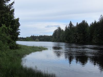
Nimpkish River, Brook in Regional District of Mount Waddington, Canada

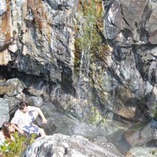
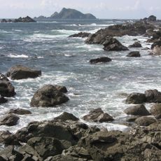
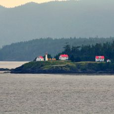
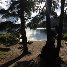
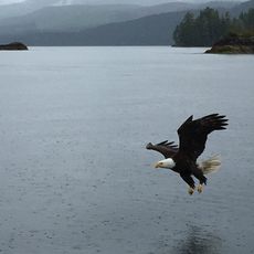
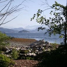
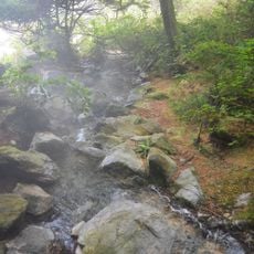
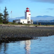
The Nimpkish River is a waterway on northern Vancouver Island that flows from mountain sources down to the coastal Broughton Strait. The river winds through heavily forested terrain with dense coniferous woodlands and passes through several lake systems along its course.

The river's name originates from the Kwak'wala language of the 'Namgis people, a coastal First Nation with deep historical ties to the land. European settlement and industrial development arrived in the late 1800s, but the waterway remained central to the region's ecology and indigenous presence.

The Nimpkish River Ecological Reserve contains some of Canada's tallest Douglas-fir forests and supports research and educational activities.

The river area is accessible from Island Highway 19 south of Port McNeill, with trailheads and boat access available at several points. Water conditions and weather can change with the seasons, so checking local conditions before paddling or hiking is important for safety.

The lower sections of the river experience strong tidal currents that create unexpected flow patterns during certain tidal cycles. These natural features often surprise paddlers and require local knowledge to navigate safely.

The community of curious travelers

AroundUs brings together thousands of curated places, local tips, and hidden gems, enriched daily by 60,000 contributors worldwide.

Start exploring
GPS coordinates
50.24268,-126.67262
Latest update
December 14, 2025 11:03
« Nimpkish River - Brook in Regional District of Mount Waddington, Canada » is provided by Around Us (aroundus.com). Images and texts are derived from Wikimedia project under a Creative Commons license. You are allowed to copy, distribute, and modify copies of this page, under the conditions set by the license, as long as this note is clearly visible.

Discover hidden gems everywhere you go!

From secret cafés to breathtaking viewpoints, skip the crowded tourist spots and find places that match your style. Our app makes it easy with voice search, smart filtering, route optimization, and insider tips from travelers worldwide. Download now for the complete mobile experience.

Around Us App Screenshot

A unique approach to discovering new places

Le Figaro

All the places worth exploring

France Info

A tailor-made excursion in just a few clicks

20 Minutes

Around Us
Travel Guide & Maps
Download

Send to your phone

QR Code
1

Open the camera app on your mobile.

2

Point at the QR code with your camera. A notification will appear.

3

Tap the notification to open the link.