Golden Hinde, Mountain summit in Strathcona Provincial Park, British Columbia, Canada
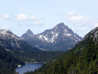
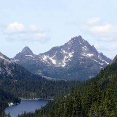
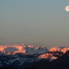
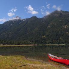
Golden Hinde is a mountain summit in Strathcona Provincial Park on Vancouver Island, rising 2,198 meters above sea level. It represents the highest point within the park boundaries and consists primarily of basalt from the Karmutsen Formation.
The first documented ascent took place in 1913 when climbers Einar Anderson and W.R. Kent conquered the difficult terrain to reach the summit. Since then, the peak has drawn numerous expeditions and become a recognized destination for mountaineers in the region.
The mountain takes its name from a fur trading captain who noticed a resemblance between its sunset appearance and Sir Francis Drake's famous vessel. This story remains part of the local lore and gives the peak a distinctive historical connection.
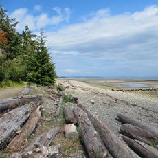
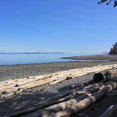
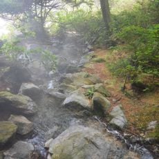
The hike to the summit requires at least two days, with designated camping spots available along the route for overnight stays. Visitors should prepare for changing weather conditions and alpine terrain, bringing suitable gear for these challenging conditions.
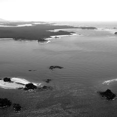
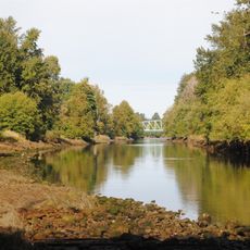
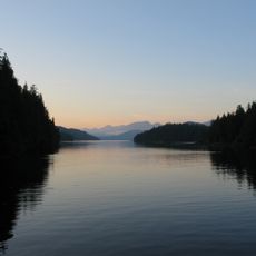
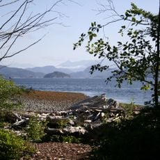
The rock formation comes from the Karmutsen Group and reveals the volcanic history of the region. The summit sits at the head of the Wolf River near Buttle Lake, offering access to less-visited parts of the park.
Location: British Columbia
Elevation above the sea: 2,198 m
Made from material: basalt
GPS coordinates: 49.66273,-125.74698
Latest update: December 7, 2025 20:20
Della Falls
27.8 km
Strathcona Provincial Park
23.5 km
Long Beach
66.5 km
Comox Glacier
31.1 km
Estevan Point lighthouse
65.5 km
Elk Falls Provincial Park
53 km
Comox Air Force Museum
60.7 km
Ramsay Hot Springs
51.2 km
Vargas Island Provincial Park
57.5 km
Miracle Beach Provincial Park
51 km
Strathcona-Westmin Provincial Park
17.7 km
Kitty Coleman Beach Provincial Park
55.8 km
Mitlenatch Island Nature Provincial Park
62.5 km
Cape Mudge Lighthouse
54.4 km
Clayoquot Plateau Provincial Park
53.8 km
Elk Falls Suspension Bridge
51.7 km
Gibson Marine Provincial Park
49.8 km
Courtenay River
54.6 km
Flores Island Provincial Park
52.7 km
Bligh Island Marine Provincial Park
57.4 km
Rebecca Spit Marine Provincial Park
63.3 km
Maquinna Marine Provincial Park
52 km
Muchalat Inlet
36.8 km
Nine Peaks
29.4 km
Nootka Lighthouse
63.1 km
The Park Golf Course & Restaurant & RV Park
58.2 km
Combers Beach
68.4 km
Motor Vessel BCP 45
52.6 kmVisited this place? Tap the stars to rate it and share your experience / photos with the community! Try now! You can cancel it anytime.
Discover hidden gems everywhere you go!
From secret cafés to breathtaking viewpoints, skip the crowded tourist spots and find places that match your style. Our app makes it easy with voice search, smart filtering, route optimization, and insider tips from travelers worldwide. Download now for the complete mobile experience.
A unique approach to discovering new places❞
— Le Figaro
All the places worth exploring❞
— France Info
A tailor-made excursion in just a few clicks❞
— 20 Minutes