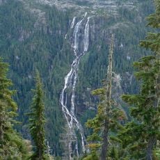
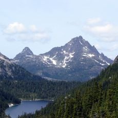
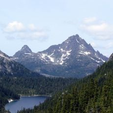
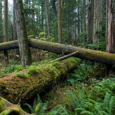
Comox Glacier, Alpine glacier in Vancouver Island Ranges, Canada.
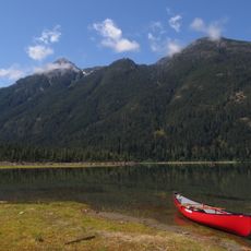
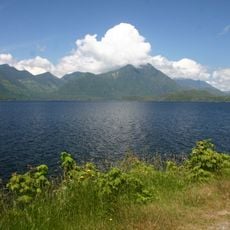
Comox Glacier is a glacier in Strathcona Provincial Park on Vancouver Island, British Columbia, 30 km southwest of Courtenay and 1 km west of Argus Mountain. Its highest point, 1,960 m, is a rocky outcrop on the north side known as the Comox Glacier summit. It belongs to the Vancouver Island Ranges of the Insular Mountains and drains via Comox Creek east to the Cruickshank River and Comox Lake.
The glacier was originally called Dome Glacier but received its current name in 1939 following a proposal from the Comox & District Mountaineering Club. This name change reflected growing recognition of the place within the local climbing community.
The K'ómoks First Nation call the mountain Kwénis, meaning "whale", after a story in which a whale was trapped on it when the Great Flood receded. The glacier's English name comes from the same nation, and the Comox & District Mountaineering Club proposed it in 1939.
Two direct approaches exist. The Comox Glacier Trail, also called Frog's Pond Route, starts where Datsio Creek meets Comox Creek, climbs toward Century Sam Lake, then gains the western ridge to Lone Tree Pass and the glacier's south flanks. The Kookjai Route begins at Cougar Lake near the Comox Gap and crosses Kookjai and Black Cat mountains to join the trail at Lone Tree Pass. Alternatives are traversing from Argus Mountain to the west or climbing from Milla Lake to the north.
The glacier can be reached via two different routes: the Comox Glacier Trail passing Century Sam Lake and the Kookjai Route through Cougar Lake. These two paths offer different perspectives and levels of challenge when approaching the ice.
The community of curious travelers
AroundUs brings together thousands of curated places, local tips, and hidden gems, enriched daily by 93,773 contributors worldwide.