Clayoquot Plateau Provincial Park, Provincial park in British Columbia, Canada
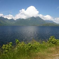
Clayoquot Plateau Provincial Park is a 3,132-hectare protected area on the west side of the Kennedy River, northeast of Tofino in British Columbia. It lies on elevated terrain reaching 1,026 metres above sea level, with 3,125 hectares of upland and 7 hectares of foreshore. The landscape is largely undeveloped, with no official trails or built structures.
Clayoquot Plateau Provincial Park was established in 1995 with an area of 3,155 hectares. Its boundaries were revised in 2004, resulting in a current area of about 3,132 hectares, of which 3,125 hectares are upland and 7 hectares foreshore.
The lands within the park boundaries belong to the traditional territory of the Nuu-chah-nulth First Nations, who used these grounds for hunting and gathering.
Visiting requires careful planning since no marked trails exist and visitors must navigate independently through the terrain. The nearby town of Port Alberni serves as a jumping-off point where travelers can gather information and supplies.
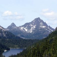
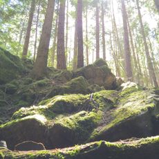
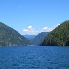
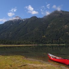
The park's upland plateau reaches 1,026 metres above sea level, and the surrounding country is almost uninhabited, with fewer than two residents per square kilometre and no settlements nearby. The slopes around the plateau are mostly coniferous forest.
The community of curious travelers
AroundUs brings together thousands of curated places, local tips, and hidden gems, enriched daily by 94,103 contributors worldwide.