Enable Location

We need your location to show you interesting places around you

Discover nearby places

Find interesting locations and hidden gems around you

Precise directions

Get accurate directions and distances to places

Your location is never shared with other users. It's only used when you tap the location button.

Cape Beale Light

Log in to your account

Start exploring — it's free

Trusted by 61,865 travelers worldwide

Continue with Google
Continue with Apple
or

We will send you a code to connect

By continuing, you accept our Terms and Conditions and our Privacy Policy

Check your inbox

We've sent a pincode in your inbox. Please enter the code below.

Cape Beale Light

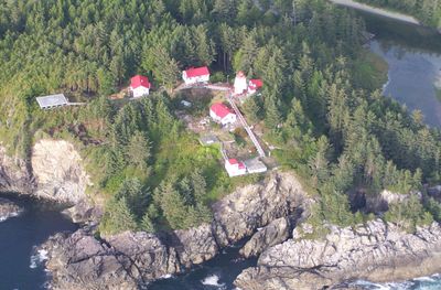
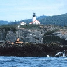
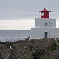
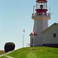
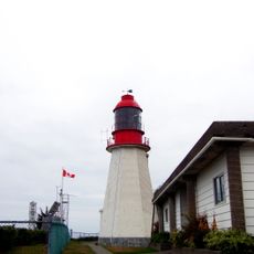
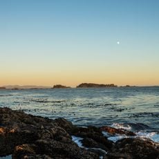
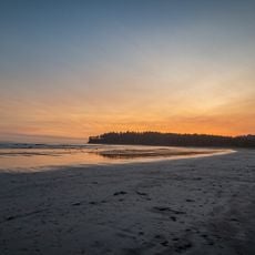
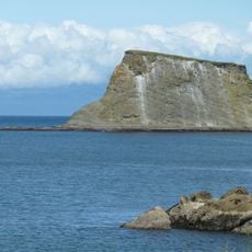
Cape Beale Light, Active lighthouse in Area A Bamfield, Canada

Description

Cape Beale Light is an active lighthouse on Vancouver Island with a square pyramidal tower that rises about 51 meters above sea level. The tower displays red painted markings for visibility and operates under Canadian Coast Guard management to guide ships safely through Barkley Sound.

History

The Canadian government established the lighthouse at this location in 1874 to mark the entrance to Barkley Sound and support ships along Vancouver Island's coast. This early investment in navigation infrastructure reflected the region's growing importance for maritime trade during the late 1800s.

Culture

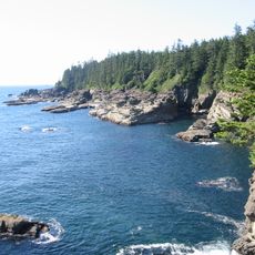
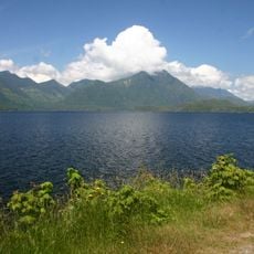
The lighthouse was named after John Beale, a crew member aboard a trading ship that explored this coast, connecting the site to early maritime history. Visitors can sense this connection through the layers of the place and its role in shaping the region's relationship with the sea.

Practical

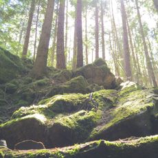
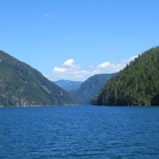
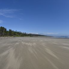
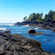
This location sits on the west coast of Vancouver Island and is best visited during good weather, as conditions can change significantly with the seasons. Access generally involves a boat ride or a long drive on forest roads, so visitors should be prepared for a remote setting.

Did you know?

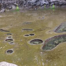
From 1971 to 1998, staff at the station collected daily measurements of water temperature and salinity as part of a provincial oceanographic research program. This long record of observations continues to help scientists understand changes in the marine environment at this coast.

Location
Area A (Bamfield)
GPS coordinates
48.78643,-125.21552
Latest update
December 13, 2025 17:02

AroundUs brings together thousands of curated places, local tips, and hidden gems, enriched daily by 60,000 contributors worldwide. Discover all places nearby (Area A (Bamfield)).

« Cape Beale Light - Active lighthouse in Area A Bamfield, Canada » is provided by Around Us (aroundus.com). Images and texts are derived from Wikimedia project under a Creative Commons license. You are allowed to copy, distribute, and modify copies of this page, under the conditions set by the license, as long as this note is clearly visible.

Discover hidden gems everywhere you go!

From secret cafés to breathtaking viewpoints, skip the crowded tourist spots and find places that match your style. Our app makes it easy with voice search, smart filtering, route optimization, and insider tips from travelers worldwide. Download now for the complete mobile experience.

Around Us App Screenshot

A unique approach to discovering new places

Le Figaro

All the places worth exploring

France Info

A tailor-made excursion in just a few clicks

20 Minutes

Around Us
Travel Guide & Maps
Download

Send to your phone

QR Code
1

Open the camera app on your mobile.

2

Point at the QR code with your camera. A notification will appear.

3

Tap the notification to open the link.