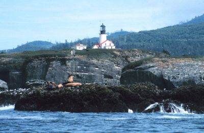
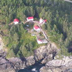
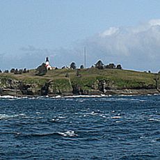
Cape Flattery Light, Historical lighthouse on Tatoosh Island, Clallam County, United States.
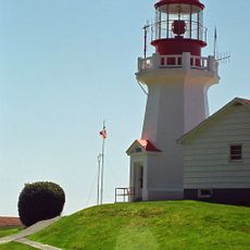
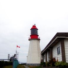
Cape Flattery Light is a white brick lighthouse on an island off Washington's coast, featuring a black lantern room topped with a red roof. The tower rises roughly 65 feet and sits about 165 feet above the water, making it a key reference point for vessels navigating this area.
Construction started in 1854 following designs by Ammi B. Young, and the light first shone in 1857, making it the third lighthouse in Washington Territory. The structure has served as a navigation aid for vessels entering the Strait of Juan de Fuca since its completion.
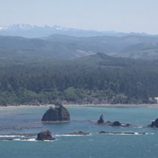
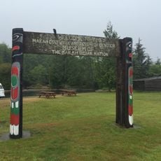
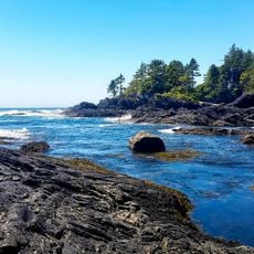
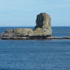
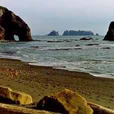
The lighthouse sits on Tatoosh Island, named after a Makah tribal leader, within the Makah Indian Reservation. The location reflects how maritime navigation and indigenous land have coexisted in this region.
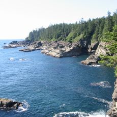
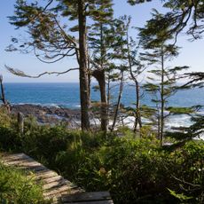
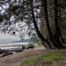
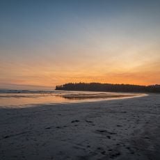
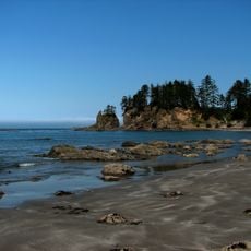
The lighthouse is closed to visitors but can be viewed from Cape Flattery through a roughly half-hour walk that requires a permit. The trail crosses coastal terrain with changing conditions, so sturdy footwear and weather preparation are important.
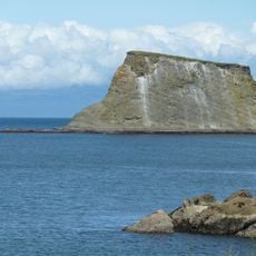
This lighthouse holds the distinction of being the northwesternmost lighthouse on the West Coast of the contiguous United States, marking an extreme geographic point. Its position at one of the country's westernmost locations makes it a notable milestone for vessels navigating these waters.
The community of curious travelers
AroundUs brings together thousands of curated places, local tips, and hidden gems, enriched daily by 60,000 contributors worldwide.