Sombrio Beach, Beach in Capital Regional District, Canada
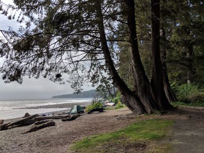
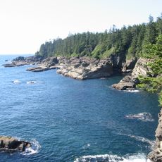
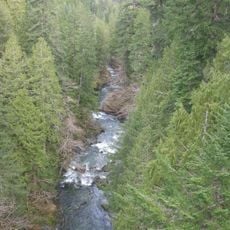
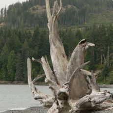
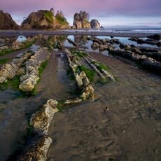
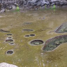
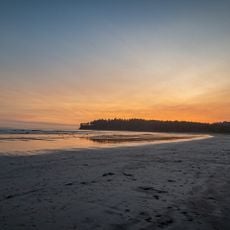
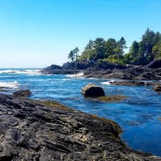
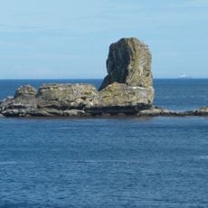
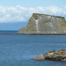
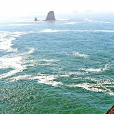
Sombrio Beach runs along the Strait of Juan de Fuca with a mix of sand and rocky outcrops near where the Sombrio River meets the ocean. The shore is backed by cliffs and dotted with exposed rocks where waves crash against the coast, creating a dynamic shoreline.
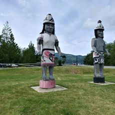
The area was home to Qwa:qtłis, a traditional Pacheedaht Nation fishing and harvesting settlement that existed long before Europeans arrived. This early settlement shows how indigenous peoples lived along and used this coastline for generations.
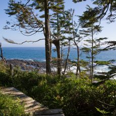
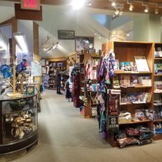
The beach forms part of Juan de Fuca Provincial Park, drawing visitors who come to surf, photograph, and watch marine life throughout the year. The rugged coastal landscape appeals to those seeking an active connection with the ocean and its natural rhythms.
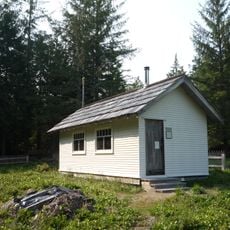
The beach is reached by walking from a parking area on British Columbia Highway 14, with a short hike to reach the sand. Camping areas and restroom facilities are available at East Sombrio for those planning a longer stay.
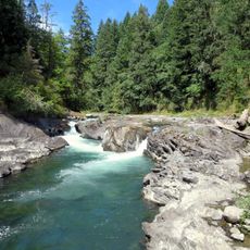
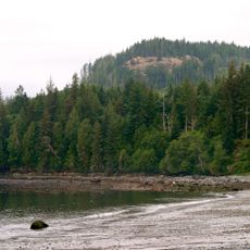
The Sombrio River meets the ocean at its mouth, creating zones where freshwater blends with saltwater in a dynamic transition. This interaction supports marine life adapted to both environments.
The community of curious travelers
AroundUs brings together thousands of curated places, local tips, and hidden gems, enriched daily by 60,000 contributors worldwide.