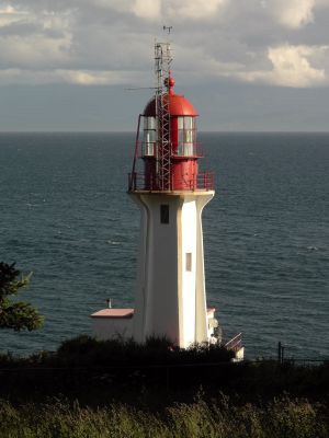
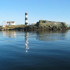
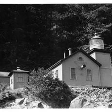
Sheringham Point Light, Heritage lighthouse in Shirley, British Columbia, Canada.
Sheringham Point Light is a hexagonal concrete tower painted white with red trim and a lantern top, rising 19.5 meters above the rocky shoreline. The structure houses an active third-order Fresnel lens that continues to function as an aid to navigation for passing vessels.
The lighthouse was built in 1912 following the shipwreck of the SS Valencia, designed by architect William P. Anderson to guide vessels through Juan de Fuca Strait. It represents a turning point in making this dangerous shipping route safer for mariners passing Vancouver Island.
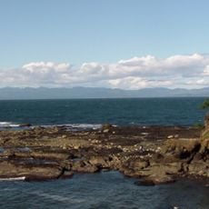
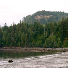
The lighthouse takes its name from the nearby headland and reflects how maritime structures mark the identity of this coastal region. Today, visitors notice how the site serves as a gathering point where locals and travelers connect with the area's seafaring heritage.
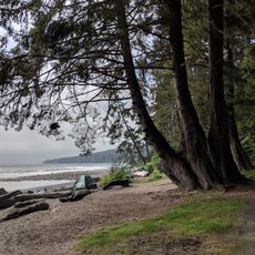
The site is accessible via marked walking trails that loop around the grounds and are easy to follow. Wear sturdy shoes since the terrain is rocky and paths can become slippery when wet.
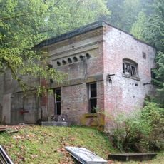
Between 1968 and 1989, the site served as a measuring station for Canadian fisheries research, recording water temperature and salinity data daily. This scientific work helped researchers understand the local marine environment better.
The community of curious travelers
AroundUs brings together thousands of curated places, local tips, and hidden gems, enriched daily by 60,000 contributors worldwide.