Alberni-Clayoquot Regional District
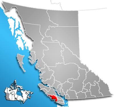
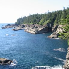
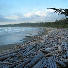
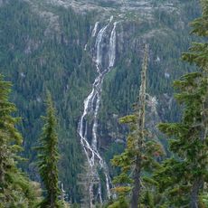
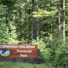
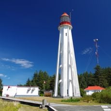
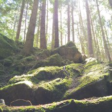
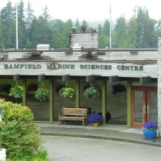
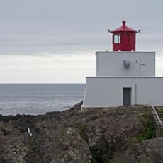
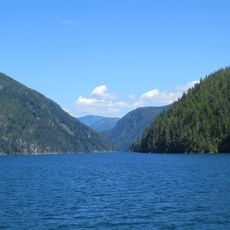
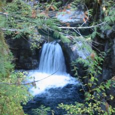
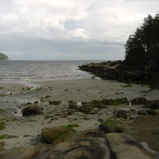
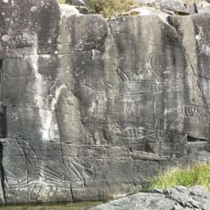
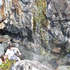
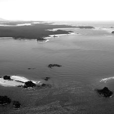
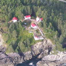
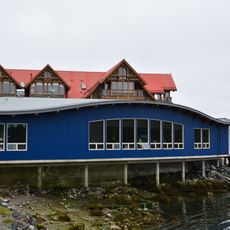
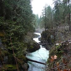
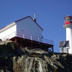
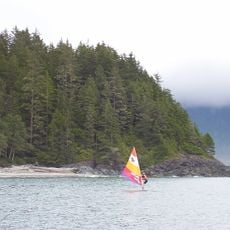
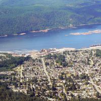
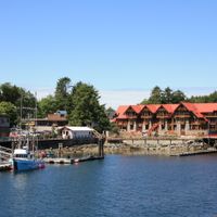
Alberni-Clayoquot Regional District, regional district in British Columbia, Canada
Location: British Columbia
Inception: 1967
Shares border with: Strathcona Regional District, Regional District of Nanaimo, Cowichan Valley Regional District, Comox Valley Regional District
Website: https://acrd.bc.ca
GPS coordinates: 49.25000,-125.33333
Latest update: March 2, 2025 23:39
West Coast Trail
74.6 km
Pacific Rim National Park Reserve
38.4 km
Della Falls
27 km
MacMillan Provincial Park
49 km
Long Beach
36 km
Carmanah Walbran Provincial Park
83.4 km
Comox Glacier
33.4 km
Estevan Point lighthouse
89.1 km
Horne Lake Caves Provincial Park
43.3 km
Alberni Pacific Railway
37.9 km
Bamfield Marine Sciences Centre
48.4 km
Amphitrite Point Lighthouse
39.6 km
Alberni Inlet
41.9 km
Little Qualicum Falls Provincial Park
53.5 km
Tribune Bay Provincial Park
59 km
Sproat Lake Provincial Park
30 km
Ramsay Hot Springs
68.7 km
Vargas Island Provincial Park
51.1 km
Cape Beale Light
52.3 km
Pachena Point Light
61.2 km
McLean Mill National Historic Site
37.4 km
Strathcona-Westmin Provincial Park
38.5 km
Helliwell Provincial Park
60.5 km
Ucluelet Aquarium
37.5 km
Stamp River Provincial Park
31.4 km
Clayoquot Plateau Provincial Park
7.6 km
Chrome Island lighthouse
53.2 km
Gibson Marine Provincial Park
53.3 kmReviews
Visited this place? Tap the stars to rate it and share your experience / photos with the community! Try now! You can cancel it anytime.
Discover hidden gems everywhere you go!
From secret cafés to breathtaking viewpoints, skip the crowded tourist spots and find places that match your style. Our app makes it easy with voice search, smart filtering, route optimization, and insider tips from travelers worldwide. Download now for the complete mobile experience.
A unique approach to discovering new places❞
— Le Figaro
All the places worth exploring❞
— France Info
A tailor-made excursion in just a few clicks❞
— 20 Minutes