Ucluelet, Coastal municipality on Vancouver Island, Canada
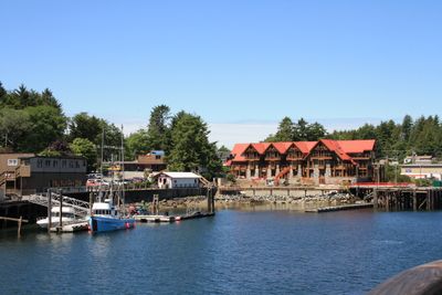
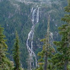
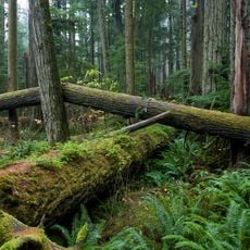
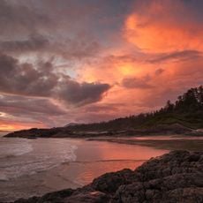
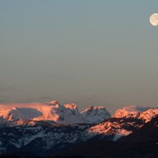
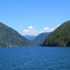
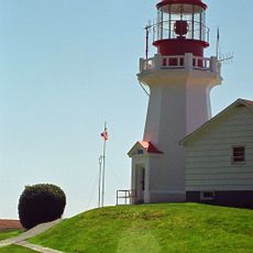
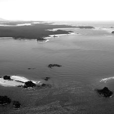
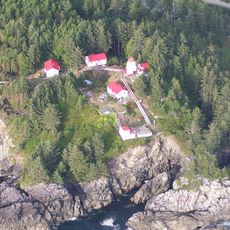
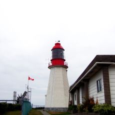
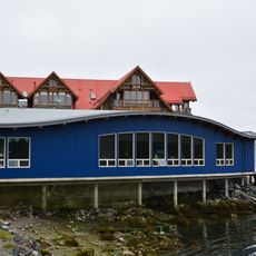
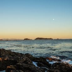
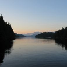
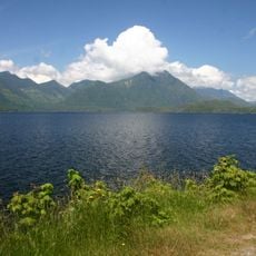
Ucluelet is a coastal municipality on a peninsula along the Pacific coast of British Columbia, featuring natural harbors and dense forests. The town spreads across hilly terrain with homes nestled between towering conifers that slope down toward the water.
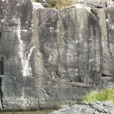
The area was originally home to the Nuu-chah-nulth people and later became a center for seal hunting and fishing. It was formally established as a district municipality in 1952, marking a shift to modern administrative structure.
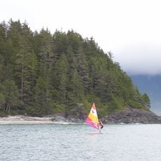
The name comes from the Nuu-chah-nulth language and reflects the area's role as a gathering place for people connected to the sea. Today, this heritage shows in how locals and visitors use the harbor and explore the coastline.
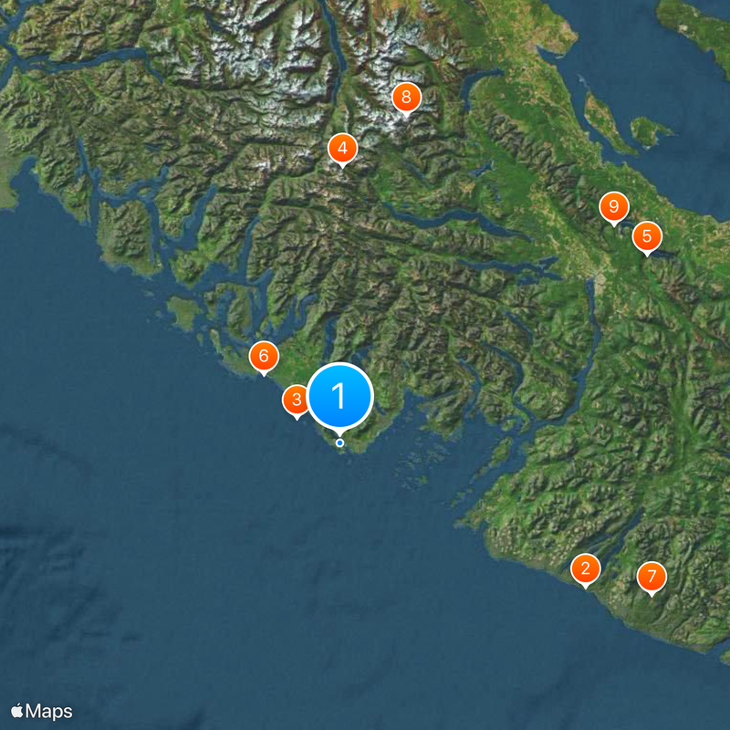
The municipality is accessible via Highway 4 and sits near a regional airport for those traveling by air. Visitors should know that winter months bring rougher weather and that hiking trails vary in accessibility depending on the season.
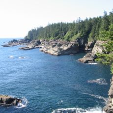
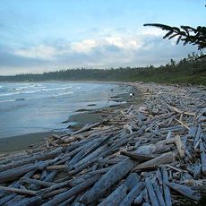
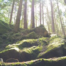
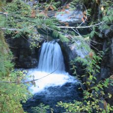
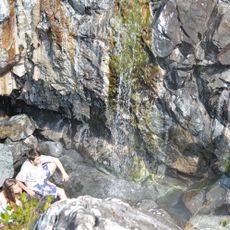
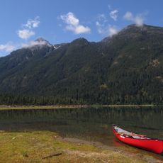
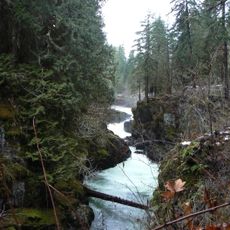
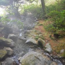
The area is connected by a network of hiking trails that link coastal sections with forest paths around the peninsula. These trails offer hikers direct exposure to the rugged Pacific shoreline and its rock formations.
Location: Alberni-Clayoquot Regional District
Inception: 1952
Elevation above the sea: 20 m
Website: https://ucluelet.ca
GPS coordinates: 48.93500,-125.54194
Latest update: December 20, 2025 15:10
West Coast Trail
59.8 km
Pacific Rim National Park Reserve
10.6 km
Della Falls
57.8 km
MacMillan Provincial Park
75.4 km
Long Beach
21.6 km
Carmanah Walbran Provincial Park
72.7 km
Comox Glacier
69.8 km
Horne Lake Caves Provincial Park
73.3 kmAlberni Pacific Railway
62.8 km
Bamfield Marine Sciences Centre
31.8 km
Amphitrite Point Lighthouse
1.5 km
Alberni Inlet
55.5 km
Little Qualicum Falls Provincial Park
79 km
Sproat Lake Provincial Park
60.2 km
Ramsay Hot Springs
70.1 km
Carmanah Point Light Station
68.3 km
Vargas Island Provincial Park
44.7 km
Cape Beale Light
29.1 km
Pachena Point Light
40.3 km
McLean Mill National Historic Site
66.8 km
Strathcona-Westmin Provincial Park
70.1 km
Ucluelet Aquarium
968 m
Stamp River Provincial Park
63.8 km
Clayoquot Plateau Provincial Park
33.3 km
Gibson Marine Provincial Park
53.2 km
Flores Island Provincial Park
61.5 km
Maquinna Marine Provincial Park
77.9 km
Kennedy Lake Provincial Park
13.4 kmVisited this place? Tap the stars to rate it and share your experience / photos with the community! Try now! You can cancel it anytime.
Discover hidden gems everywhere you go!
From secret cafés to breathtaking viewpoints, skip the crowded tourist spots and find places that match your style. Our app makes it easy with voice search, smart filtering, route optimization, and insider tips from travelers worldwide. Download now for the complete mobile experience.
A unique approach to discovering new places❞
— Le Figaro
All the places worth exploring❞
— France Info
A tailor-made excursion in just a few clicks❞
— 20 Minutes