Chilcotin River, Brook in Southern British Columbia, Canada
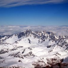
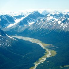
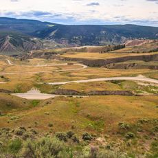
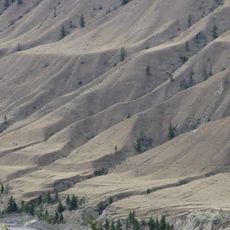
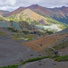
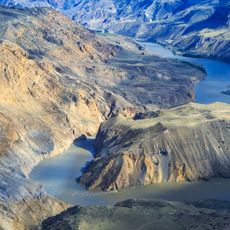
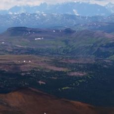
The Chilcotin River is a waterway on the Chilcotin Plateau in Southern British Columbia that flows through open highland terrain. It joins with several major tributary streams before eventually reaching the Fraser River.
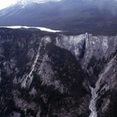
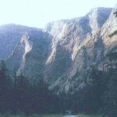
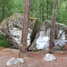
The Chilcotin River drains a 19,200 km² watershed of the Chilcotin Plateau, one of twelve watersheds in the Fraser River Basin. Its southward course through the valley walls may have formed during the Late Miocene or Pliocene. The lower reach holds the Wineglass assemblage, Late Permian tonalitic rock cut through Late Permian volcanic rock, enclosed by older Cache Creek terrane rocks.
The name comes from the Tsilhqot'in people who have lived in this region for generations. The river and its surroundings remain central to how local communities connect with the land.
The best time to visit is between June and October when weather conditions are more stable. Those wanting to reach the river valley should allow time for travel on forest roads and check local conditions.
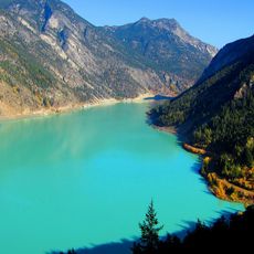
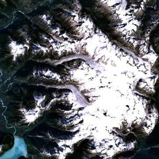
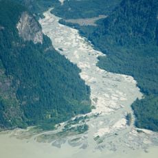
Where the Chilko meets this river with its blue waters against the Taseko's milky white flow, a visible color contrast occurs. This meeting point can be observed from several vantage points in the area.
The community of curious travelers
AroundUs brings together thousands of curated places, local tips, and hidden gems, enriched daily by 94,005 contributors worldwide.