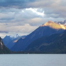
Monarch Mountain, Mountain summit in British Columbia, Canada.
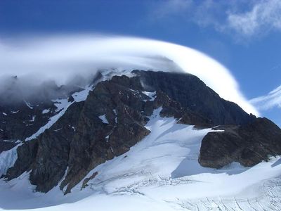
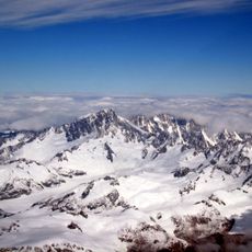
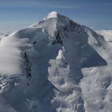
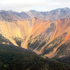
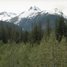
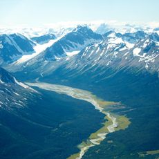
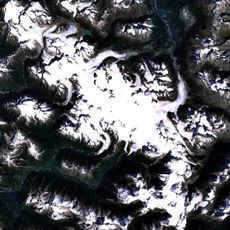
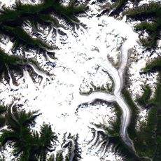
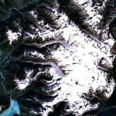
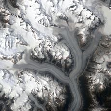
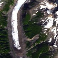
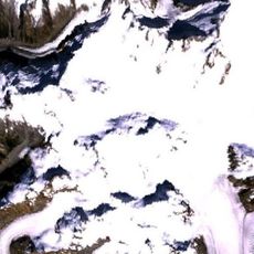
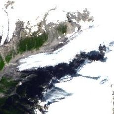
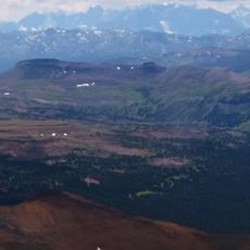
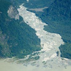
Monarch Mountain is a summit in the Pacific Ranges of British Columbia, Canada, rising to about 3,555 meters (11,663 ft). It sits in a heavily glaciated part of the Coast Mountains, surrounded by steep rock faces, snowfields, and ice that cover much of the terrain at this elevation.
The first documented ascent was made in July 1936 by Henry Snow Hall Jr. and Hans Fuhrer, two mountaineers who reached the top during a broader exploration of the Pacific Ranges. Their climb placed this peak on the map for the small community of alpinists who later followed similar routes in the region.
The name "Monarch" follows a tradition of giving royal titles to prominent peaks in western Canada, a naming practice common in the 19th and early 20th centuries. Climbers who reach this peak move through land that Indigenous peoples have known for generations, long before any recorded ascent.
Reaching this summit requires advanced mountaineering experience and full alpine gear, as the terrain is technical and the elevation is serious. Weather in this part of the Coast Mountains can shift without warning, so checking conditions in advance and going with an experienced team makes a real difference.
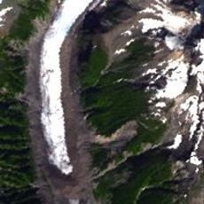
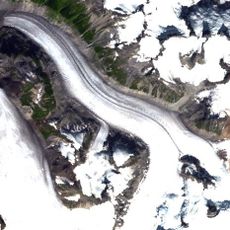
The Monarch Icefield, which sits right beside this peak, feeds several glaciers at once, making the surrounding area one of the most glaciated parts of the entire Coast Mountains. Unlike many high peaks in the region, the mountain's glacial surroundings can be observed from certain approach routes without reaching the top.
The community of curious travelers
AroundUs brings together thousands of curated places, local tips, and hidden gems, enriched daily by 60,000 contributors worldwide.