Howson Peak, Mountain summit in British Columbia, Canada.
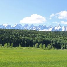
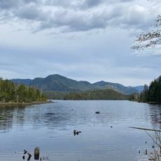
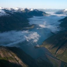
Howson Peak is the highest summit of the Howson Range in west-central British Columbia, reaching 2,759 metres. It lies 54 km southwest of Telkwa, near the head of the Telkwa River and above the Burnie and Kitnayakwa rivers. The peak rises on the northwestern boundary of Burnie-Shea Provincial Park, also called Tazdli Wiyez Bin.
Howson Peak was first climbed in 1958, following a 1957 attempt during which Rex Gibson, then president of the Alpine Club of Canada, was killed. The route of that first ascent, along with many other lines on the mountain, remains unclimbed.
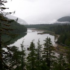
The peak stands in Tazdli Wiyez Bin (Burnie-Shea) Provincial Park, a protected area in the Kitimat Ranges of west-central British Columbia. The name Tazdli Wiyez Bin comes from the local Indigenous language of the area. The nearest accommodation for visitors is the Burnie Glacier Chalet, near Burnie Lake.
Reaching the summit requires serious mountaineering experience, with access typically by helicopter to Burnie Lake or a multi-day hiking approach from Kitnayakwa River road. Climbers should be prepared for steep terrain, exposed ridge traverses, and unpredictable mountain weather that can change rapidly.
Several climbing routes on this peak remain largely untracked or unexplored, offering opportunities for experienced mountaineers to discover new paths to the summit. These open routes attract climbers seeking adventure away from established ways.
The community of curious travelers
AroundUs brings together thousands of curated places, local tips, and hidden gems, enriched daily by 92,611 contributors worldwide.