Enable Location

We need your location to show you interesting places around you

Discover nearby places

Find interesting locations and hidden gems around you

Precise directions

Get accurate directions and distances to places

Your location is never shared with other users. It's only used when you tap the location button.

Anhluut'ukwsim Laxmihl Angwinga'asanskwhl Nisga'a

Log in to your account

Start exploring — it's free

Trusted by 66,917 travelers worldwide

Continue with Google
Continue with Apple
or

We will send you a code to connect

By continuing, you accept our Terms and Conditions and our Privacy Policy

Check your inbox

We've sent a pincode in your inbox. Please enter the code below.

Anhluut'ukwsim Laxmihl Angwinga'asanskwhl Nisga'a
Discussion Reviews 1 Photos
5.2k Popularity

Anhluut'ukwsim Laxmihl Angwinga'asanskwhl Nisga'a, Provincial park in Regional District of Kitimat-Stikine, Canada.

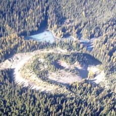
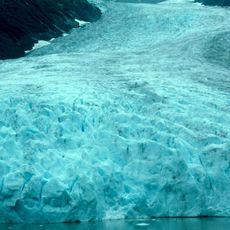
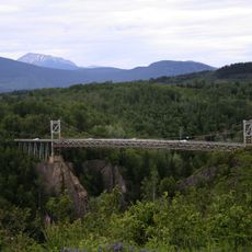
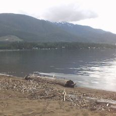
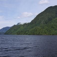
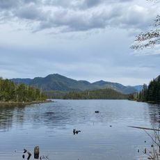
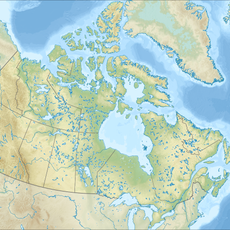
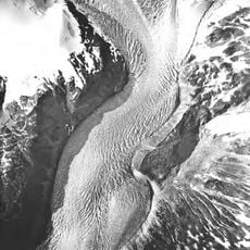
Anhluut'ukwsim Laxmihl Angwinga'asanskwhl Nisga'a, also known as Nisga'a Memorial Lava Bed Provincial Park, is a provincial park in the northwestern corner of British Columbia, Canada, protecting a large field of hardened lava formed by past volcanic activity. The lava field sits alongside the Nass River valley and is surrounded by forests, lakes, and rivers that contrast with the dark volcanic rock.

Around 1700, a volcanic eruption buried several Nisga'a villages under lava and ash, killing many people and reshaping the Nass River valley. The park was established in 1992 to protect this landscape and to honor the memory of those who died.

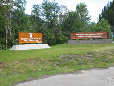
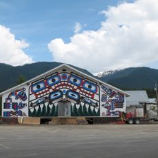
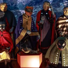
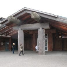
The park's name in the Nisga'a language translates roughly to "the memorial lava bed of the Nisga'a people", and signs throughout the park are written in both English and Nisga'a. Walking the marked trails, visitors can read panels that explain how each part of the landscape carries meaning for the Nisga'a, who manage the park together with BC Parks.

The park is far from major cities, so arriving by car is the most practical option, as public transport to the area is limited. The lava field terrain is rough and uneven, so sturdy footwear is strongly advised before setting out on any of the trails.

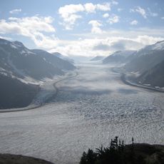
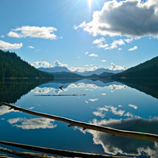
When the lava flowed into the valley, it blocked the course of the Nass River and created a lake that still exists today. That lake was not carved by glaciers or fed by rainfall alone but formed entirely by the movement of volcanic rock.

The community of curious travelers

AroundUs brings together thousands of curated places, local tips, and hidden gems, enriched daily by 60,000 contributors worldwide.

Start exploring
Inception
1992
GPS coordinates
55.11670,-128.86700
Latest update
March 3, 2026 08:17
Reviews
Share your experience

No review yet

Discussions
Start a discussion...

No discussion yet

« Anhluut'ukwsim Laxmihl Angwinga'asanskwhl Nisga'a - Provincial park in Regional District of Kitimat-Stikine, Canada » is provided by Around Us (aroundus.com). Images and texts are derived from Wikimedia project under a Creative Commons license. You are allowed to copy, distribute, and modify copies of this page, under the conditions set by the license, as long as this note is clearly visible.

Discover hidden gems everywhere you go!

From secret cafés to breathtaking viewpoints, skip the crowded tourist spots and find places that match your style. Our app makes it easy with voice search, smart filtering, route optimization, and insider tips from travelers worldwide. Download now for the complete mobile experience.

Around Us App Screenshot

A unique approach to discovering new places

Le Figaro

All the places worth exploring

France Info

A tailor-made excursion in just a few clicks

20 Minutes

Around Us
Travel Guide & Maps
Download

Send to your phone

QR Code
1

Open the camera app on your mobile.

2

Point at the QR code with your camera. A notification will appear.

3

Tap the notification to open the link.