Regional District of Kitimat-Stikine
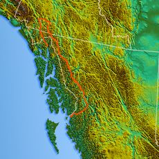
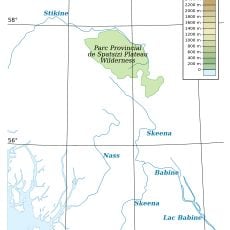
Regional District of Kitimat-Stikine, Administrative district in northwestern British Columbia, Canada
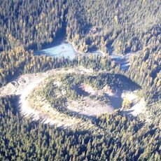
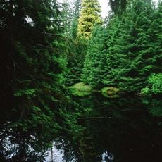
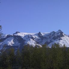
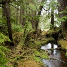
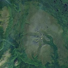
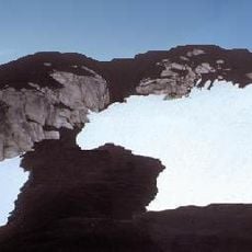
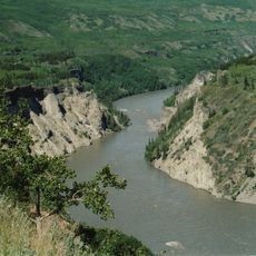
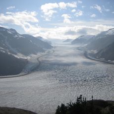
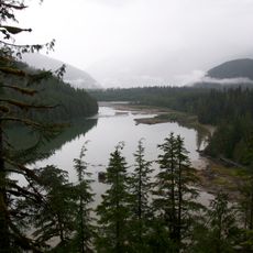
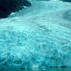
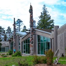
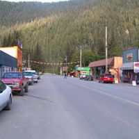
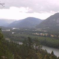
The Regional District of Kitimat-Stikine is an administrative division in northwestern British Columbia that brings together several towns and rural communities. The territory encompasses varied landscapes and serves as the governance structure for this remote region.
This administrative region was established in 1968 under provincial legislation to govern the northwestern territories. The district expanded over time as new communities became part of its administrative structure.
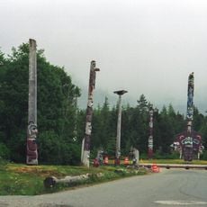
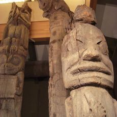
The district population includes 57.93 percent European heritage residents and 35.99 percent Indigenous peoples, reflecting the regional demographic composition in British Columbia.
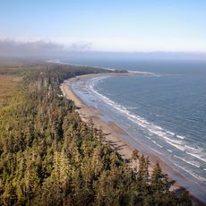
The region spans a large area with different communities that vary in accessibility depending on travel methods and seasons. Visitors should plan for flexibility since distances between towns can be substantial and conditions change throughout the year.
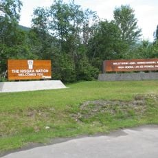
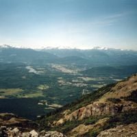
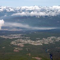
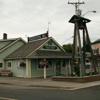
The district maintains authority over Thornhill, which stands as the largest unincorporated community in the region with more than 5,000 inhabitants.
Location: British Columbia
Shares border with: Regional District of Bulkley-Nechako, North Coast Regional District, Central Coast Regional District, Stikine Region, Ketchikan Gateway Borough, Wrangell, Petersburg Borough
Website: https://rdks.bc.ca
GPS coordinates: 55.00000,-129.00000
Latest update: December 14, 2025 13:08
Tseax Cone
13.9 km
Kiidk'yaas
258.8 km
Devils Thumb
317.1 km
Hoodoo Mountain
243.5 km
Gwaii Haanas National Park Reserve and Haida Heritage Site
333.1 km
Level Mountain
406.5 km
The Volcano
196.3 km
Grand Canyon of the Stikine
359.2 km
Salmon Glacier
141.3 km
Anhluut'ukwsim Laxmihl Angwinga'asanskwhl Nisga'a
15.5 km
CFS Masset
229.1 km
Stikine Icecap
305.7 km
Gitlaxt'aamiks
28.3 km
Kitlope Heritage Conservancy
235.1 km
Bear Glacier Provincial Park
129.5 km
Driftwood Canyon Provincial Park
128 km
Saxman Totem Park
168.8 km
Haida Heritage Centre
276.2 km
Naikoon Provincial Park
227.9 km
Totem Heritage Center
171.7 km
Mount Ratz
335.9 km
Sir Alexander Mackenzie Provincial Park
308.3 km
Kitselas Canyon
57.5 km
LeConte Glacier
292 km
Hagwilget Canyon Bridge
93.4 km
Spatsizi Plateau Wilderness Provincial Park
270.8 km
Lakelse Lake Provincial Park
75.4 km
Deer Mountain
169.6 kmVisited this place? Tap the stars to rate it and share your experience / photos with the community! Try now! You can cancel it anytime.
Discover hidden gems everywhere you go!
From secret cafés to breathtaking viewpoints, skip the crowded tourist spots and find places that match your style. Our app makes it easy with voice search, smart filtering, route optimization, and insider tips from travelers worldwide. Download now for the complete mobile experience.
A unique approach to discovering new places❞
— Le Figaro
All the places worth exploring❞
— France Info
A tailor-made excursion in just a few clicks❞
— 20 Minutes