Level Mountain, Complex volcano in British Columbia, Canada
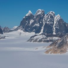
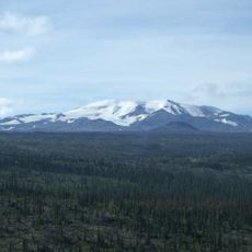
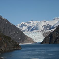
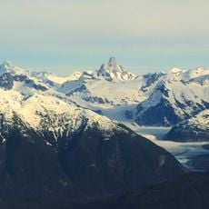
Level Mountain is a volcanic complex in northwestern British Columbia consisting of a broad shield volcano topped by an eroded stratovolcano. The shield rises from 900 to 1,400 metres and forms an oval lava plateau 70 km long and 45 km wide. Above 1,400 metres, ridges and peaks of the Level Mountain Range culminate at Meszah Peak, 2,164 metres, the only named summit.
Level Mountain began forming about 15 million years ago. A shield volcano built up from 14.9 million years ago, then a stratovolcano was constructed on top from 7.1 million years ago. Lava domes followed from 4.5 million years ago, and lava flows and small cones erupted within the last 2.5 million years.
The name Level Mountain comes from its generally gentle slopes and was officially adopted on 21 December 1944, following the 1925 Summary Report of Canada's Department of Mines. In 1948 geologist H. S. Bostock used the name for the jagged peaks at the summit, and since 14 August 1952 maps have labelled that group Level Mountain Range, though locals still call the whole massif Level Mountain.
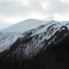
Level Mountain can only be reached by air or by trekking long distances on foot; the nearest communities lie more than 30 km away. The area is drier than the Coast Mountains to the west, and snow accumulates mainly on the middle slopes. Plan for rigorous temperatures and allow for the remoteness when timing a visit.
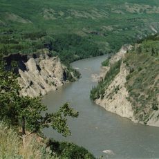
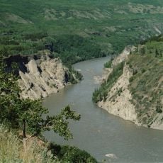
Level Mountain is large enough to be seen from space, and its flat lava plateau is cut by V-shaped canyons that expose Tertiary basalts along the Grand Canyon of the Stikine. The massif has a topographic isolation of 66 km from Metlatulin Mountain in the Boundary Ranges.
The community of curious travelers
AroundUs brings together thousands of curated places, local tips, and hidden gems, enriched daily by 92,627 contributors worldwide.