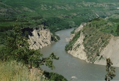
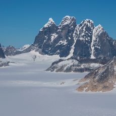
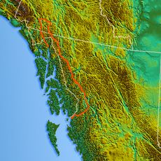
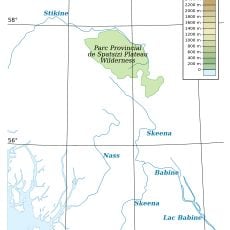
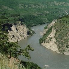
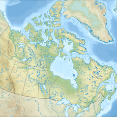
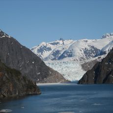
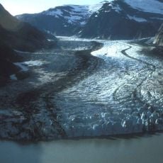
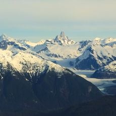
Grand Canyon of the Stikine, River canyon in northern British Columbia, Canada.
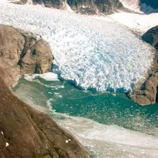
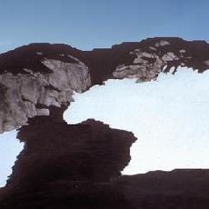
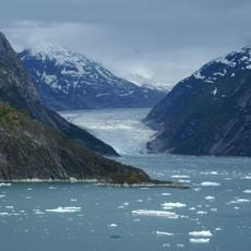
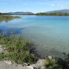
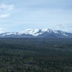
The Grand Canyon of the Stikine is a deep river valley in northern British Columbia that stretches nearly 100 kilometers through remote terrain. The canyon walls consist of layered sedimentary rock mixed with volcanic formations, creating a narrow passage where the river carves through the landscape.
The valley became known during the mid-1800s through the Collins Overland Telegraph expedition, which attempted to build a telegraph line to Alaska. This early exploration brought attention to the region, though it remained largely untouched by further development for many decades afterward.
The region holds deep connections to the Tahltan First Nations, who have inhabited this area for generations and view the valley as part of their traditional territory. The landscape itself reflects their long presence and relationship with this remote river region.
The best time to visit is August through September, when water levels drop and the route becomes somewhat more manageable. The river remains dangerous and demanding, so this location is suitable only for experienced paddlers with strong technical skills.
At the narrowest point where the Tanzilla and Stikine rivers converge, the passage compresses to less than 2 meters wide. These tight sections are part of what makes paddling here so technically demanding and create moments that stay with adventurers long after their journey ends.
The community of curious travelers
AroundUs brings together thousands of curated places, local tips, and hidden gems, enriched daily by 60,000 contributors worldwide.