Lava Forks Provincial Park, Provincial park in Regional District of Kitimat-Stikine, Canada.
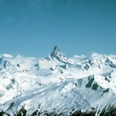
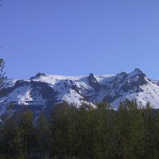
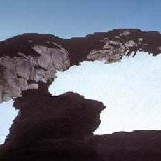
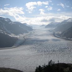
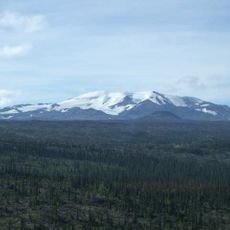
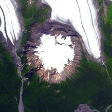
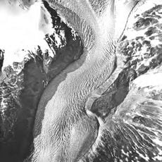
Lava Forks Provincial Park is a provincial park in northern British Columbia, Canada, protecting the site of Canada's most recent volcanic eruption, which occurred around 1904 at Lava Fork. The park contains volcanic landforms from that eruption, including lava-dammed lakes, ash dunes, pot holes holding pools, and lava flows. Its southern boundary is the United States-Canada border, adjacent to Tongass National Forest in Alaska.
Lava Forks Provincial Park protects the site of the most recent volcanic eruption in Canada, which took place around 1904 at Lava Fork from The Volcano. The park lies in the traditional territory of the Tahltan Nation, and its southern boundary follows the Canada–United States border next to Alaska's Tongass National Forest.
The park lies within the traditional territory of the Tahltan Nation. Its name comes from the Lava Fork, the main watercourse running through the park; the official name uses a plural, "Forks", that departs from the original toponym. The southern boundary follows the Canada–United States border.
Access requires either helicopter transportation or a multi-day hike, as there are no roads or water routes to reach the protected area. Visitors should come fully prepared, knowing that a trip requires either special flight arrangements or substantial hiking experience.
The park's name uses a plural that does not match the original toponym: the main watercourse is Lava Fork, singular. Its southern boundary runs along the Canada–United States border and adjoins both Tongass National Forest and Misty Fiords National Monument in Alaska.
The community of curious travelers
AroundUs brings together thousands of curated places, local tips, and hidden gems, enriched daily by 94,601 contributors worldwide.