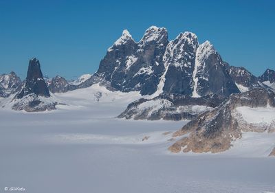
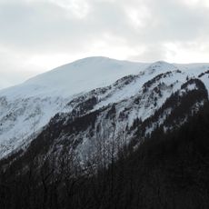
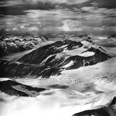
Devils Paw, Border summit in British Columbia, Canada.
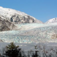
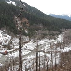
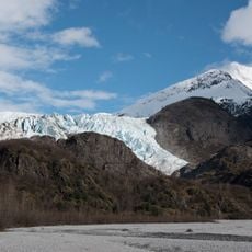
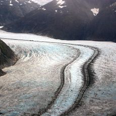
Devils Paw is a mountain summit located on the international boundary between British Columbia and Alaska. The peak sits within the Juneau Icefield, where substantial glaciers spread across the surrounding terrain.
The International Boundary Commission marked this location as Border Marker 93 in 1906 to establish the frontier. This formal designation helped clarify the boundary between Canada and the United States in this remote area.
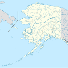
The peak sits on the boundary between the two countries and marks where their territories meet on the map.
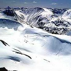
Reaching this summit demands advanced mountaineering skills and specialized equipment due to its isolated position. The remote setting within the Juneau Icefield requires careful planning and preparation before attempting access.
This location serves as both a geographic border point and a numbered boundary marker from over a century ago, blending natural geography with formal international agreements.
The community of curious travelers
AroundUs brings together thousands of curated places, local tips, and hidden gems, enriched daily by 60,000 contributors worldwide.