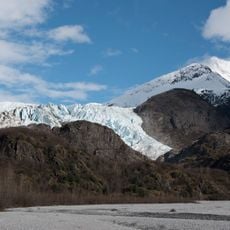
Mendenhall Glacier, Glacier in Tongass National Forest, Alaska.
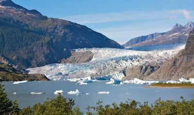
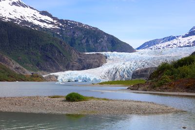
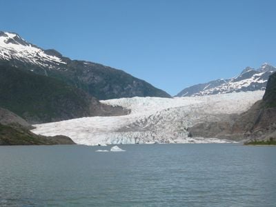
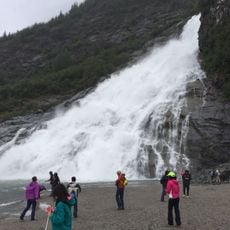
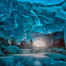
Mendenhall Glacier is a glacier in Tongass National Forest, Alaska, that reaches about 12 miles (19 kilometers) in length. Its ice can be up to 1,800 feet (550 meters) thick in places and feeds several cold streams that flow down into the valley.
William Mendenhall mapped this ice formation in 1890 while working for the United States Geological Survey. Back then, the glacier extended much farther into the valley than it does today.
The Tlingit community has known this glacier for centuries as Aak'wtaaksit and used its cold waters for fishing. Their oral traditions tell of the ever-changing ice landscape and the animals that come here to feed.
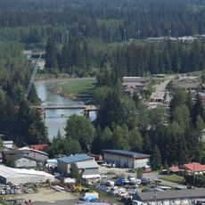
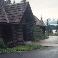
The visitor center offers spotting scopes and information about six marked hiking trails in the area. Most trails require sturdy footwear because the ground is often wet and uneven.
The glacier generates its own weather and influences temperature and precipitation patterns in the surrounding area. Black bears often visit the ice-cold streams to catch salmon swimming from the meltwater.
The community of curious travelers
AroundUs brings together thousands of curated places, local tips, and hidden gems, enriched daily by 60,000 contributors worldwide.