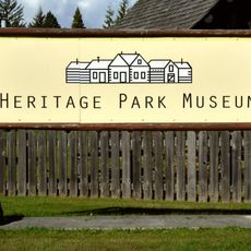
Hazelton, village in British Columbia, Canada
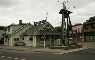
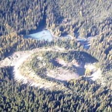
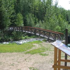
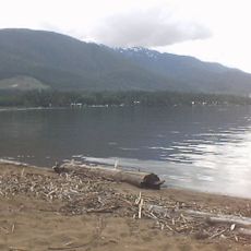
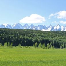
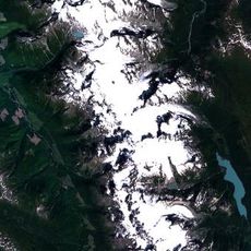
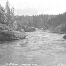
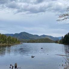
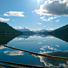
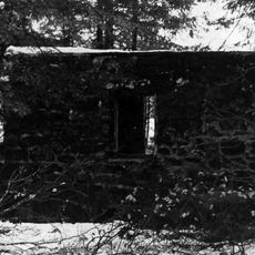
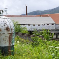
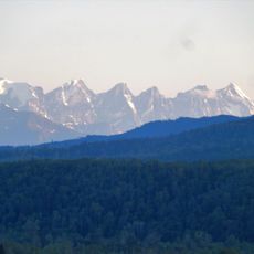
Hazelton is a small village in the Kitimat-Stikine region of British Columbia, situated beside the Skeena River and surrounded by forests and mountains. The settlement features quiet streets with modest buildings, historic houses, and remnants from early settlement days that tell stories of life in this remote area.
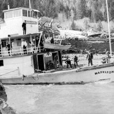
The village was established in the 1860s and quickly became a key stop for prospectors traveling to the gold fields of the Cariboo and Yukon regions. Named around 1872 after the abundant hazelnut bushes that grew nearby, it replaced its earlier name of The Forks as the community developed.
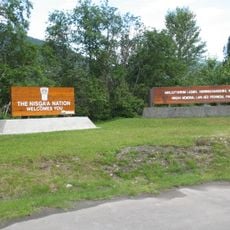
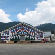
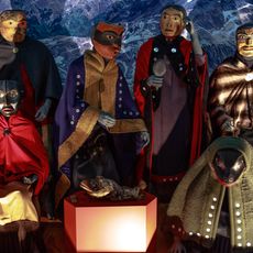
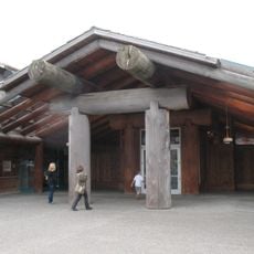
The village holds strong ties to the Gitxsan people, who have inhabited this region for thousands of years and continue to share their traditions with visitors. Traditional carvings, masks, and performance art are visible in local gatherings and shops, reflecting a culture that remains active in daily community life.
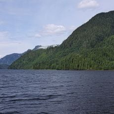
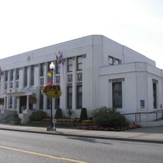
The village provides basic services including a general store, clinic, and postal office for visitors and residents. It serves as a good base for exploring outdoor activities such as fishing, hiking, and camping in the surrounding forests and mountain terrain.
The village took its name from wild hazelnut bushes that once covered the area, an unusual naming origin for a northern Canadian settlement. This botanical connection makes it distinctive among frontier communities that were typically named after people or geographical features.
The community of curious travelers
AroundUs brings together thousands of curated places, local tips, and hidden gems, enriched daily by 60,000 contributors worldwide.