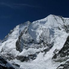
Tsa de l'Ano, mountain in Switzerland
Location: Valais
Elevation above the sea: 3,368 m
GPS coordinates: 46.07817,7.57331
Latest update: November 19, 2025 23:45
Grand Cornier
4.1 km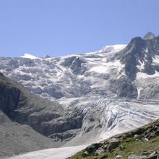
Moiry Glacier
2 km
Pointe de Bricola
2.3 km
Ferpècle Glacier
5.6 km
Grande Dent de Veisivi
4.6 km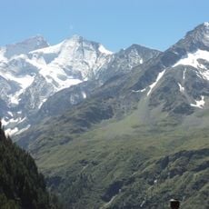
Pigne de la Lé
2.9 km
Couronne de Bréona
1.5 km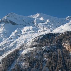
Garde de Bordon
5.1 km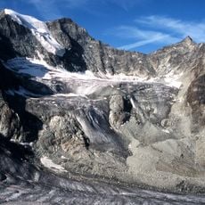
Pointes de Mourti
1.2 km
Pointe du Tsaté
3.9 km
Lac de la Bayenna
2.7 km
Mont Miné
5.6 km
Chapelle Saint-Christophe
5.3 km
Blanche de Perroc
5.6 km
Pointe de Moiry
724 m
Pointe du Prélet
5 km
Alpage de Tsaté
3.7 km
Grand-Hôtel de la Sage
5.1 km
Glacier Dent Blanche
5 km
Les Haudères, usine hydraulique Jean Rong-Rieder
5.1 km
Roc Vieux
5.1 km
Scenic viewpoint
2.7 km
Scenic viewpoint
3.9 km
Scenic viewpoint
5.1 km
Scenic viewpoint
4.6 km
Waterfall
5.2 km
Waterfall
4.9 km
Waterfall
4.2 kmReviews
Visited this place? Tap the stars to rate it and share your experience / photos with the community! Try now! You can cancel it anytime.
Discover hidden gems everywhere you go!
From secret cafés to breathtaking viewpoints, skip the crowded tourist spots and find places that match your style. Our app makes it easy with voice search, smart filtering, route optimization, and insider tips from travelers worldwide. Download now for the complete mobile experience.

A unique approach to discovering new places❞
— Le Figaro
All the places worth exploring❞
— France Info
A tailor-made excursion in just a few clicks❞
— 20 Minutes