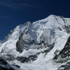
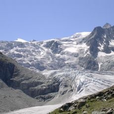
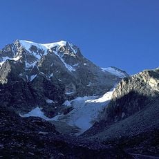
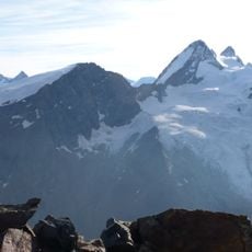
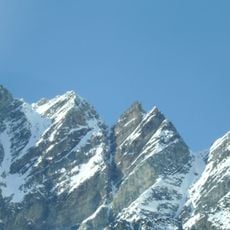
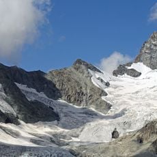
Ferpècle Glacier, Alpine glacier in Val d'Hérens, Switzerland
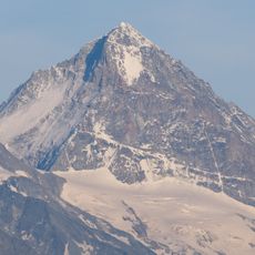
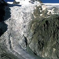
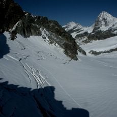
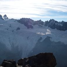
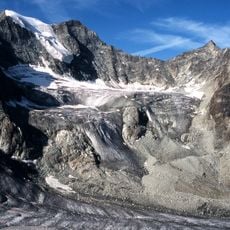
Ferpècle Glacier is a 6.5 km long glacier in the Pennine Alps of Valais, Switzerland, rising at the Col d'Hérens northeast of the Tête Blanche. It flows north between the Mont Miné to the west and the Dent Blanche to the east; in 1973 it covered 9.8 km². North of the Mont Miné its meltwater forms the Borgne de Ferpècle, a tributary of the Borgne, itself a tributary of the Rhône.
The glacier's documented record is recent: in 1973 it covered 9.8 km², and in 2005 it measured 6.5 km long. It lies in the Pennine Alps of Valais, where its meltwater forms the Borgne de Ferpècle, a tributary of the Borgne, which joins the Rhône. The sources record no trade route or historic crossing here.
The meltwater stream born below Mont Miné is called the Borgne de Ferpècle, a tributary of the Borgne, which in turn feeds the Rhône. The name Ferpècle is shared by the glacier and the valley that carries this water down toward the Rhône valley.
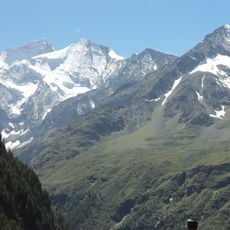
The glacier is reached from the Ferpècle valley, where the meltwater forms the Borgne de Ferpècle. The ice begins at the Col d'Hérens, northeast of the Tête Blanche, and runs north between the Mont Miné to the west and the Dent Blanche to the east. Approach routes follow the valley from the Val d'Hérens side.
Meltwater from the glacier forms the Borgne de Ferpècle just north of Mont Miné; this stream feeds the Borgne, which in turn joins the Rhône. The glacier rises at the Col d'Hérens, northeast of the Tête Blanche, and flows north between Mont Miné and the Dent Blanche.
The community of curious travelers
AroundUs brings together thousands of curated places, local tips, and hidden gems, enriched daily by 94,031 contributors worldwide.